Forecast for the Skyline Area Mountains

Brett Kobernik
Issued by Brett Kobernik for
Thursday, December 6, 2018
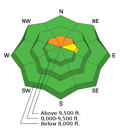
The majority of the terrain across the Skyline has a LOW to MODERATE avalanche danger. A CONSIDERABLE danger remains steep slopes above 9500' that face northwest, north and northeast. The likelihood of triggering an avalanche becomes less over time but if you do trigger one, it has the potential to be large and lethal. Watch for fresh drifts of wind blown snow as these may be sensitive to the weight of a person or a sled.
Low
Moderate
Considerable
High
Extreme
Learn how to read the forecast here
Special Announcements
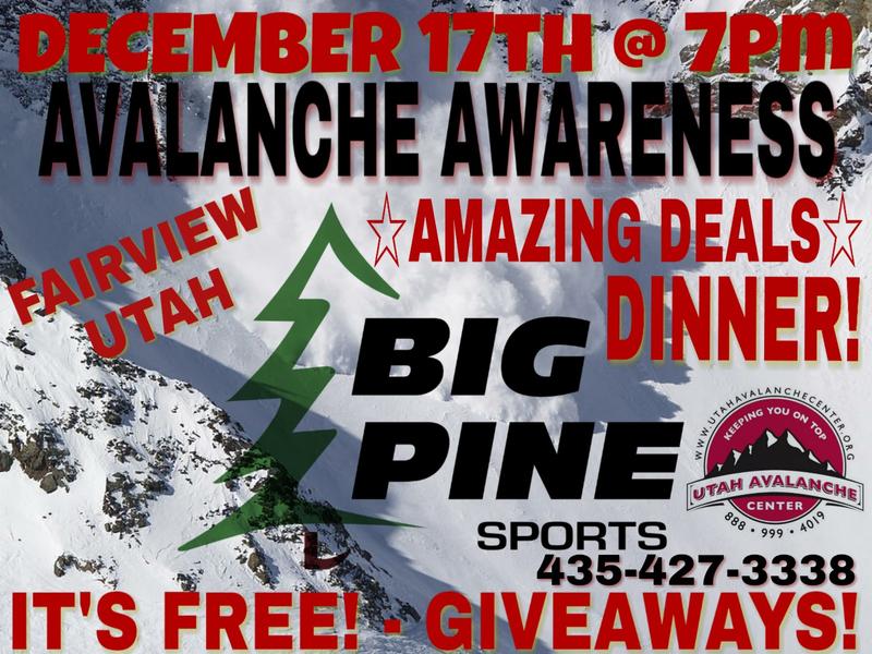
I'll be doing our annual avalanche presentation at Big Pine Sports on December 17th, 2018 at 7pm. It's free to attend and there will be food and drinks, good deals and some giveaways!
I'll discuss the start to our winter and current avalanche conditions. I'm thinking that I'll also review an accident or two that has occurred on the Skyline. There is always a lot to learn when reviewing accidents.
Weather and Snow
We had a bump in wind speed from the southwest during the day on Wednesday and Wednesday night. It wasn't outrageous but it might have been enough to drift some additional snow onto the northerly facing slopes. This potentially could make those northerly slopes more sensitive.
A closed low pressure system will drift west through Arizona today and Friday. If we're lucky, enough moisture will be pushed north into Utah to bring us a little snow although I think we're a bit too far north to pick up much. High pressure sets in for the weekend with mostly clear skies and mild weather. Next week may bring a couple smaller storms, one about Tuesday night and another about Thursday. They don't look huge at the moment but might produce a few inches a piece.
Ad
Additional Information