Check Out Our Holiday Auction!

Forecast for the Skyline Area Mountains

Brett Kobernik
Issued by Brett Kobernik on
Thursday morning, December 4, 2025

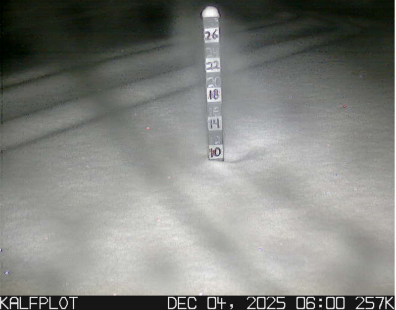
There is very little danger of avalanches currently on the Manti Skyline. The majority of the terrain just doesn't have enough snow to cause concern. Some areas now have up to 10" total so we will want to start paying attention soon.

Low
Moderate
Considerable
High
Extreme
Learn how to read the forecast here
Weather and Snow
Current Conditions: Another few inches trickled in on Wednesday. This brings total depths up to around 10" in the more favored locations. Temperatures were cold overnight with readings in the low teens and even single digits in some canyon bottoms. Wind has been light from the west.
Photo: Kobernik - Snow stake in Spring City Canyon
Mountain Weather: We'll have a break in the weather today and it looks like skies will mostly clear out this morning. Wind will stay light from the northwest for most of the day then increase late afternoon and overnight. Another storm is moving in Friday which actually looks a little better to me this morning. Rough estimates at this point are 6 to 8 inches of new snow by Sunday morning. It's possible we may see more. This is going to be a windy one, especially Saturday, so hang on to your hat.
General Announcements
This forecast is from the U.S.D.A. Forest Service, which is solely responsible for its content. This forecast describes general avalanche conditions and local variations always occur.