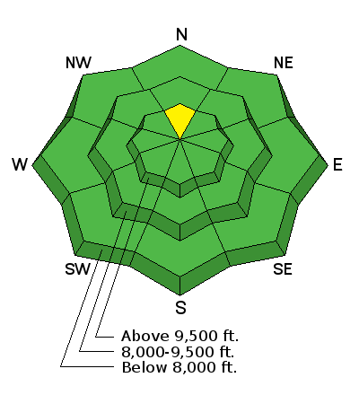
Temperatures have been unseasonably mild in the mountains over the last few days especially on Friday where ridge top temperatures hit 40˚F. The wind has been blowing in the moderate to strong speed range for the last two days. The biggest change this week is the new snow from the Christmas storm is starting to weaken noticeably. We now have enough snow on the east and west aspects that will continue to weaken over the next 10 days. That means that once we get more snow, west, north and east facing slopes are all going to have weak faceted sugary snow that will most likely produce avalanches.
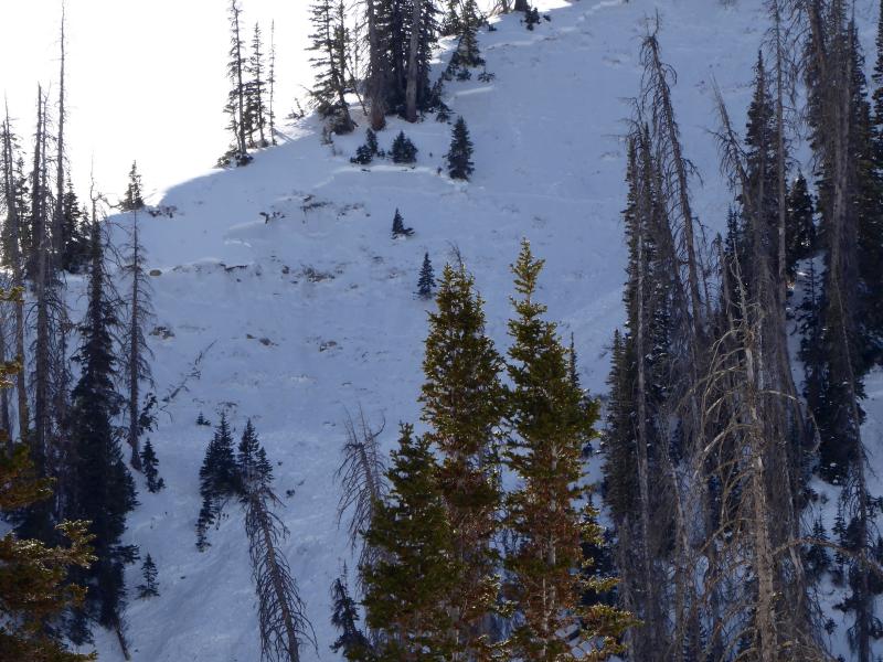
Friday, I found some more avalanches that released on Christmas Day. These were up in Pleasant Creek. They all broke into weak faceted snow near the ground. They were all north facing above 9600 feet. On our way up, my partner pointed out some old cracks from Christmas down as low as 9000'. A slope had "spiderwebbed" but didn't release. Below are some details and links to the observations:
12/25/2017 Skyline region: Avalanche: BBQ Bowl, Natural trigger - 10" deep
12/25/2017 Skyline region: Avalanche: Main Bowl, Natural trigger - 10" deep - 400' wide
Photo, natural avalanche in Pleasant Creek


