Check out our Holiday Auction - Sign Up for the Utah Snow and Avalanche Workshop (USAW)

Forecast for the Skyline Area Mountains

Brett Kobernik
Issued by Brett Kobernik on
Monday morning, December 11, 2023
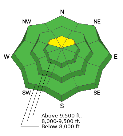
The overall danger rating on the Skyline is generally LOW. There is still a chance that a person could trigger a slab avalanche breaking 2 feet deep into weak sugary snow near the ground on upper elevation very steep northerly facing slopes. There is a pockety MODERATE avalanche danger there.
Low
Moderate
Considerable
High
Extreme
Learn how to read the forecast here
Weather and Snow
Current Conditions: Temperatures are mild in the mountains with averages in the mid 20s. Wind from the west northwest on Sunday was slightly breezy and has slowed again. Riding conditions are nothing to write home about.
Mountain Weather: The weather looks really nice through the upcoming week. The bummer is there is no snow in sight for at least 12 days. We'll have a few scattered high clouds, high temperatures around 30˚F with light and variable wind through the weekend.
Ad
Avalanche Problem #1
Persistent Weak Layer
Type
Location
Likelihood
Size
Description
A weak layer of sugary faceted snow near the ground exists in higher elevation more northerly facing terrain. Human triggered avalanches breaking into that weak layer is our main concern. That said, as time goes on, chances for triggering an avalanche are getting less and less. This Persistent Weak Layer problem will go "dormant" at some point and won't be dangerous until we reload the snowpack with new snow. It will most likely become active again once storms start moving through again.
General Announcements
This forecast is from the U.S.D.A. Forest Service, which is solely responsible for its content. This forecast describes general avalanche conditions and local variations always occur.