Forecast for the Skyline Area Mountains

Issued by Brett Kobernik on
Wednesday morning, January 12, 2022
Wednesday morning, January 12, 2022
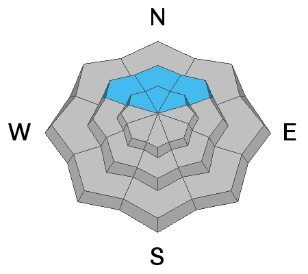
In most areas, the snowpack is looking pretty good and there is a LOW avalanche danger. A MODERATE avalanche danger still exists on mid and upper elevation northwest, north and northeast facing slopes steeper than about 35 degrees. The most likely place a person might trigger something is in an area with a shallow (thus weaker) snowpack.

Low
Moderate
Considerable
High
Extreme
Learn how to read the forecast here