A dry cold front moved through the region overnight, dropping temperatures into the teens and elevating west/northwest wind speeds, especially at the upper elevations. At 10,000' winds are averaging in the teens with gusts in the 30's mph, and at 11,000' winds are averaging in the 40's, with gusts in the 60's mph, including an 80 mph gust at midnight.
Fortunately, wind speeds are forecasted to diminish today, to more reasonable speeds averaging in the teens with gusts in the 20's and 30's mph. Temperatures will rebound and rise above freezing, generally in the 30's and possibly low 40's F. Skies will be clear with strong sunshine.
For this upcoming weekend, skies will be clear with moderate winds from the northwest. Temperatures will be warmer on Saturday, with another windy and dry cold front Saturday night, with much cooler temperatures forecasted for Sunday. There is a possibility of a return to a more active storm pattern setting up by mid-week.
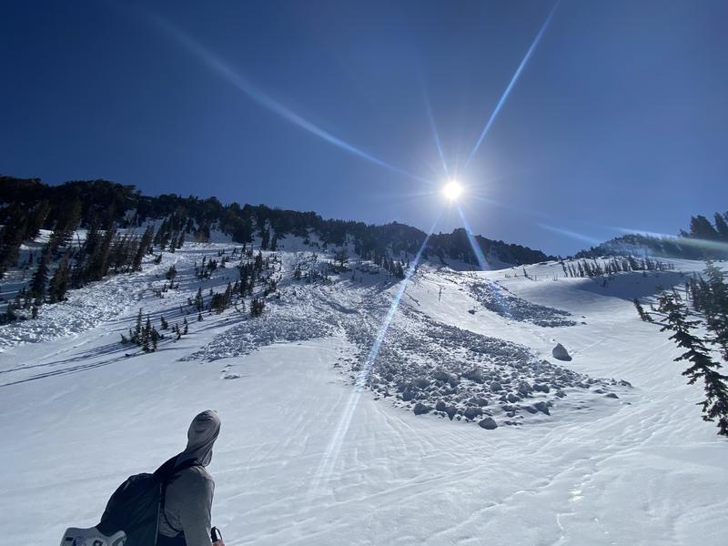
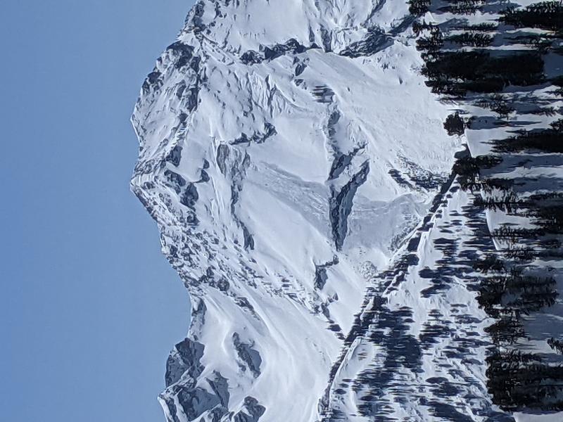
On Thursday my partner and I were finding cold dry snow on northerly aspects at the mid and upper elevations, with early stages of a corn cycle in progress on east, south, and west aspects. Travel conditions in the alpine zones are quite good right now, although strong winds overnight have likely reduced the chances for finding soft snow as well as eroding many snow surfaces.
Our
Week in Review - where we highlight significant snow and avalanche activity from the prior week -
has been published.


