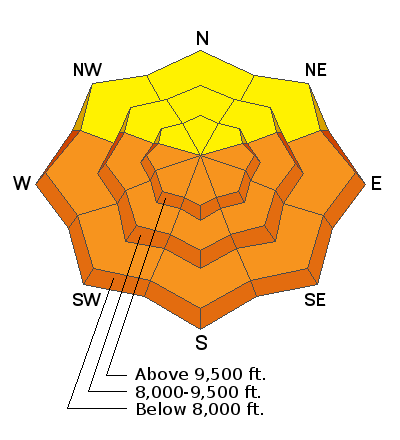
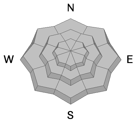
With record-breaking temperatures forecast and plenty of sunshine, today will be a good day to quickly be in and out of the mountains. Do not overstay your welcome on steep, sunlit terrain as the snowpack is becoming wetter and wetter from the past few days of strong sunshine and warming temperatures. Honestly, I have no clue if the snowpack will see a natural avalanche cycle today from the heat or not. BUT, I do know that I wouldn't be riding or hiking on any steep, sunlit slope this afternoon. The Wet Snow Avalanche Problem covers two types of avalanches:
Wet Loose Avalanches - These typically occur within layers of wet snow near the surface caused by warming temperatures and strong sunshine. As the snow becomes wet, the upper surface layers become unconsolidated as the bonds between the snow grains lose their cohesion. They start at a point and typically fan out as they move downhill. These avalanches can entrain a lot of snow, especially in a tight rock-lined chute or in sustained steep terrain. The first sign of wet loose avalanches is usually rollerballs or pinwheels. Today, these avalanches can happen naturally or be human-triggered.
Wet Slab Avalanches - This is a tough one; we haven't seen any wet slab avalanche activity in the backcountry up to this point. However, on our second night with temperatures above freezing, I wouldn't be surprised to hear of some wet slab avalanche activity today or tomorrow. Basically, the way this works is your slab (stronger snow) fails on wet saturated snow grains below in the snowpack somewhere. Meltwater can also saturate a layer of snow, and that becomes the weak layer releasing the slab of stronger snow above. Unfortunately, we/I really don't have a good grasp on forecasting this avalanche problem. Therefore I've attached a paper on this topic
HERE.


