Skies are mostly cloudy.
Winds are from the southwest, with mid and upper elevation anemometers registering wind speeds of 25mph with gusts to 35.* Mountain temperatures are in the mid to upper 20s. A weak going-through-the-motions "storm" will cast off a snowflake or two today. Winds should lose steam by the afternoon hours; temps will be in the 20s.
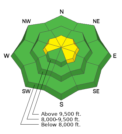
All eyes are on what I'm calling a Good News and Bad News Tuesday/Wednesday/Thursday storm. The GOOD news: A slow moving Pacific storm will bring cooler temps and perhaps 12-18" of snow to the mountains. The BAD news: strong east to northeast winds follow for Wednesday night to Thursday night and we finally wriggle free of the grasp of this nuisance of a weather system by Friday. With this much wind (particularly from the east), it's probably not even worth the trouble.
(*In last Tuesday's forecast, I said One more day of wind, people. I did not mean for the rest of the season.).
Backcountry conditions: Travel is easy but snow conditions are a bit tired and worn. It's still possible to find some soft snow that's not sun or wind damaged, but you'll have to be sneaky. Still, coverage is excellent with 8-12' of snow on the ground in the upper Cottonwoods and 6-8' on the ground along the upper reaches of the Park City ridgeline.
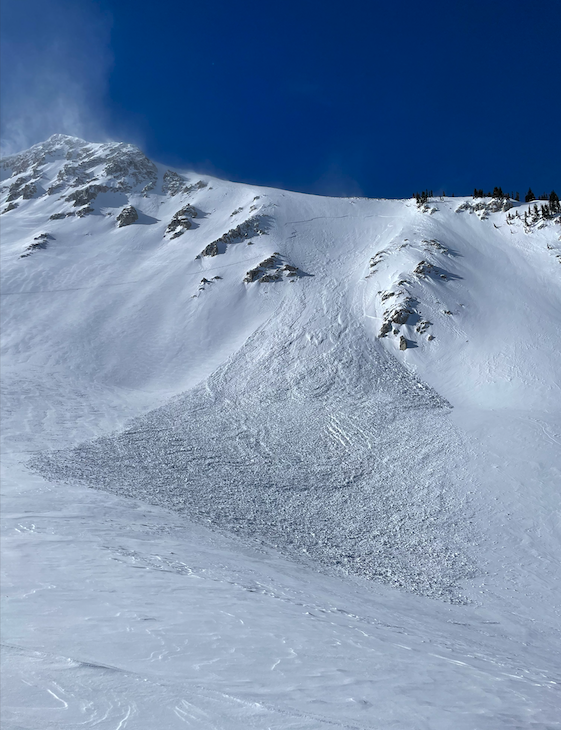
Ski areas reported no avalanche activity, but I can report no fewer than four skier triggered slides in the backcountry yesterday. The relentless winds have deposited pockets of hard and soft slab across a variety of aspects, even well off the ridgelines and two skiers were caught and carried in separate incidents while ascending. Some of these have very nice write-ups. The list below:
Airplane Peak - NE facing at 10,300' 6" deep and 200' wide (photo)
Bells Canyon - East facing at 9600' reported 1-2' deep 100' wide
White Pine - Northwest facing at 9800', estimated 8-18" deep and 50' wide


