Forecast for the Salt Lake Area Mountains

Trent Meisenheimer
Issued by Trent Meisenheimer for
Thursday, February 4, 2021
The avalanche danger is CONSIDERABLE on all mid and upper elevation steep slopes facing west through north, through southeast. This is where the snowpack is weak and faceted, and human triggered avalanches 2-5'+ deep are likely and potentially unsurvivable. Don't be fooled by the lack of signs of instability today. We have a MODERATE avalanche danger elsewhere.
Low
Moderate
Considerable
High
Extreme
Learn how to read the forecast here
Special Announcements
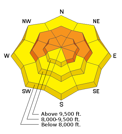
With great sadness, the Utah Avalanche Center reports that a 57-year old skier, Kurt Damschroder of Park City, was killed Saturday in a backcountry avalanche off of Square Top Peak, located on the Park City Ridgeline. The final accident report can be found HERE. Our thoughts go out to those affected by this tragic accident, especially the family and friends of Kurt.
Weather and Snow
Well, I suppose I was wrong about yesterday's weather and storm details (the cold front had me excited). It wasn't the first time I was wrong; won't be the last... Let's try this again. Under a cool northwest flow today, we should see snow showers lingering through about mid-morning followed by clouds and possibly some clearing by late in the day. We could pick up an additional 1-3" of new snow this am in favored areas.
Yesterday's cold front was exciting; it just didn't keep the snowfall for as long as I thought it would. The storm came in with a bang, and the snow started mainly as graupel and stacked up to roughly 4"-7" (0.40-0.60 water) throughout the Wasatch Range. This storm improved the riding and turning conditions drastically after our warm temperatures early in the week.
The winds are currently blowing from the northwest at speeds of 5-15 mph with gusts into 20's mph at many of the upper elevation stations. At 11,000', winds are steady with speeds of 25-30 gusting 45 mph. Mountains temperatures are in the single digits to mid-teens °F. It's cold, and it feels like winter.
Recent Avalanches
It's been an exciting week for avalanche viewing. In total, we've had 54 avalanches reported to the UAC in the past nine days. Please take a few minutes and scan through the observation cue; it's impressive.
Ad
Avalanche Problem #1
Persistent Weak Layer
Type
Location
Likelihood
Size
Description
This problem is most pronounced on steep slopes facing west to north to southeast at the mid and upper elevations. We are primarily dealing with not one but two weak layers that are causing avalanches: a layer of facets and perhaps surface hoar buried Jan 22nd....and the old rotten facets and depth hoar at the bottom of our snowpack.
Signs of instability (cracking/collapsing) might not be present today, and you might even see tracks on the slope. In no way does this mean it's safe. All someone has to do is hit the right spot; the slope collapses, shatters like a pane of glass; you look left, you look right with nowhere to run. The avalanche you just triggered will likely be 2'-5' + deep and hundreds of feet wide, and likely unsurvivable. The best thing we can do is avoid the avalanche altogether by sticking to slopes under 30° degrees.
Zach Coury said it best in his recent observation: " The cool thing about skiing low angled powder is that it's one of the most fun things in the world." and I agree.
AVALANCHE TREND: STEADY
Avalanche Problem #2
Wind Drifted Snow
Type
Location
Likelihood
Size
Description
We've seen plenty of wind the past 24-36 hrs to keep us on guard for new and old drifts of windblown snow. The winds have mainly been from the west-south-west; however, yesterday's cold front ushered in some wind from the west and northwest. I would be on guard and keep an eye out for drifts of windblown snow well off of ridgelines and in cross-loaded features. As always, look for and avoid rounded pillowy looking snow.
On slopes that harbor weak faceted snow, the wind has only added to the problem and continues to overload those slopes making the avalanches larger and more connected.
AVALANCHE TREND: DECREASING
General Announcements
Please visit this website with information about Responsible Winter Recreation by the Utah Office of Outdoor Recreation.

This information does not apply to developed ski areas or highways where avalanche control is normally done. This forecast is from the U.S.D.A. Forest Service, which is solely responsible for its content. This forecast describes general avalanche conditions and local variations always occur.