Join us at our 2nd Annual Blizzard Ball

Forecast for the Salt Lake Area Mountains

Nikki Champion
Issued by Nikki Champion on
Saturday morning, February 22, 2020
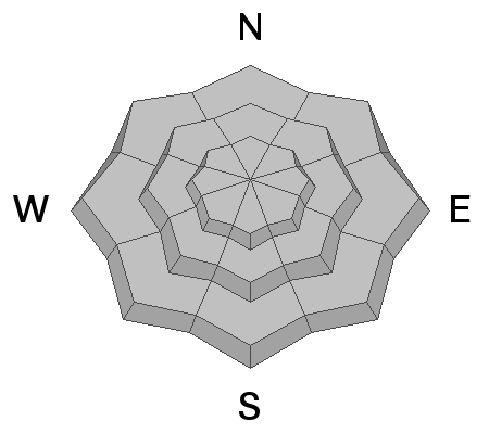
The avalanche danger is LOW. The three things to watch for today are (1) pockets of isolated wind slabs in the upper elevations, (2) sluffing in the upper elevation northern aspects and (3) small, wet, loose avalanches on southeast through west-facing aspects.

Remember a low avalanche danger, doesn’t mean “no avalanche danger”. Continue to evaluate snow and terrain carefully.
Low
Moderate
Considerable
High
Extreme
Learn how to read the forecast here
Special Announcements
Discounted lift tickets - Thanks to the generous support of our Utah ski resorts and Ski Utah, all proceeds from these ticket sales go towards paying for avalanche forecasting and education! Get your tickets here.
The UAC's Avy Awareness Auction is currently underway with tons of great gear, jewelry, artwork and experiences available. Visit the auction page HERE to help support the UAC's spring avalanche awareness and outreach efforts.

A new version of the UAC IOS application is now available on the Apple App Store. This version fixes many of the issues that occur when running IOS 13. Download it now!
Weather and Snow
This morning, temperatures range through the 20's F, with a temperature inversion at some low-elevation trailheads with temperatures in the mid-teens. Winds are westerly, southwesterly and generally light averaging 5-15 mph below 10,000'. At the highest elevation ridgetops gusts are in the low 30s mph.
Today, the high pressure system will gradually shift east. This will bring mostly cloudy skies and warm temperatures, in the upper 30s to low 40s F. Winds will continue to be west southwesterly and average 5-15 mph with gusts below 25 mph at mid-elevations. Upper elevation ridgelines will average 10-20 mph with gusts up to 30 mph.
Looking forward, a storm system will be tracking south of us tonight and could bring up to an inch of snow to the Central Wasatch.
Recent Avalanches
Two avalanches were reported in the backcountry yesterday.
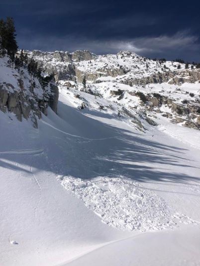
The first was a skier triggered soft slab avalanche on a Northeast aspect at 10400 feet on the Coalpit Headwall. This soft slab broke 35 feet wide and ran about 600 feet. One person was caught, but no one was buried. You can find a great first-person account HERE.
The second was a serious of intentional skier triggered wind slabs on an East aspect at 9400 feet in Hogum. These avalanches were 18 inches deep and failed on the Feburary 7th crust, and broke 30 feet wide. You can find the full report HERE.

Our Week in Review - which summarizes weather and avalanche activity over the past week - has been published HERE.
Ad
Avalanche Problem #1
Normal Caution
Type
Location
Likelihood
Size
Description
Today, the overall avalanche danger is LOW. This means that human-triggered avalanches are unlikely, but small avalanches in isolated areas are possible.
Today I would watch for:
  1. Small pockets of recent-wind drifted snow in isolated terrain features, such as ridgelines and cross-loaded gullies. Avoid terrain features with obvious signs of wind-drifted snow.
  2. Shallow sluffing in the upper 2-6" of snow on steep north-facing terrain. While these may not be large, they are enough to knock you off your feet and sweep you through consequential terrain.
  3. Small, wet, loose avalanches on southeast through west-facing terrain if the sun comes out today. While we should primarily have cloudy skies today, the clouds may break late morning and offer a few hours of sun. The sun in combination with the warm temperatures could lead to some loose wet avalanches on solar aspects.
With a LOW danger, it is reasonable to venture into more radical terrain, but always consider the consequences of an avalanche. Even a very small avalanche can be deadly in certain terrain.
Continue to maintain safe travel habits; this means exposing one person at a time to avalanche terrain and having someone watch them from a safe location.

General Announcements
This information does not apply to developed ski areas or highways where avalanche control is normally done. This forecast is from the U.S.D.A. Forest Service, which is solely responsible for its content. This forecast describes general avalanche conditions and local variations always occur.