UDOT PLANNED AVALANCHE CLOSURES!!

Forecast for the Salt Lake Area Mountains

Mark Staples
Issued by Mark Staples for
Monday, December 10, 2018
The avalanche danger today is MODERATE on upper elevation slopes facing west through southeast, and on mid elevation northwest through east facing terrain. Deadly slab avalanches are possible 2-4 feet deep on a persistent weak layer near the ground in this terrain. A skier triggered slide on Saturday illustrates this possibility. Also, watch for a few areas with wind drifted snow where small wind slab avalanches could occur. All other slopes have a LOW danger.
Low
Moderate
Considerable
High
Extreme
Learn how to read the forecast here
Special Announcements
Tomorrow, Tuesday December 11th at 6:30 p.m. at the Park City Library: Learn about the "Current state of the snowpack... how did we get here? and where are we going." 1255 Park Avenue, Park City, Utah. Presented by the Park City Professional Ski Patrol Association and the Utah Avalanche Center.
Weather and Snow
The inversion continues this morning with colder temperatures at low elevations and warmer temperatures at higher elevations. Temperatures at some trailhead elevations are in the low teens F while at 9000 and 10,000 feet temperatures are in the upper 20's and low 30's F. Winds this morning are averaging 7-10 mph gusting 15 mph from the WSW.
Today will have more sunshine and temperatures in the mid to upper 30s F. Winds could increase some this afternoon as a weak storm system approaches and the ridge of high pressure moves east. This storm system will not deliver any measurable snow but should help improve valley air quality.
The snow surface has been getting warm and even a little damp on south facing slopes. It remains dry powder on shaded slopes, and some people have been finding a little bit of faceting (weakening) in the surface snow as well as some surface hoar growth (essentially frost on top of the snow). For now this faceting and surface hoar growth improves the riding conditions.
Recent Avalanches
On Saturday, a skier was caught, partially buried, and injured in an avalanche in upper Porter Fork of Mill Creek Canyon (NW aspect, 9500 feet, 45 degree slope angle). The avalanche was confined by terrain and was only about 30 ft wide but ran 600 feet vertical. They were the second person on the slope and it broke about 100 ft above them. They were able to hike out under their own power but one ski was broken in half. Read more details HERE.
Otherwise, the only avalanches triggered by ski areas were in steep, rocky terrain as ski patrols hunt for remaining pockets of unstable snow.
There were about half a dozen great observations from yesterday. Read them HERE.
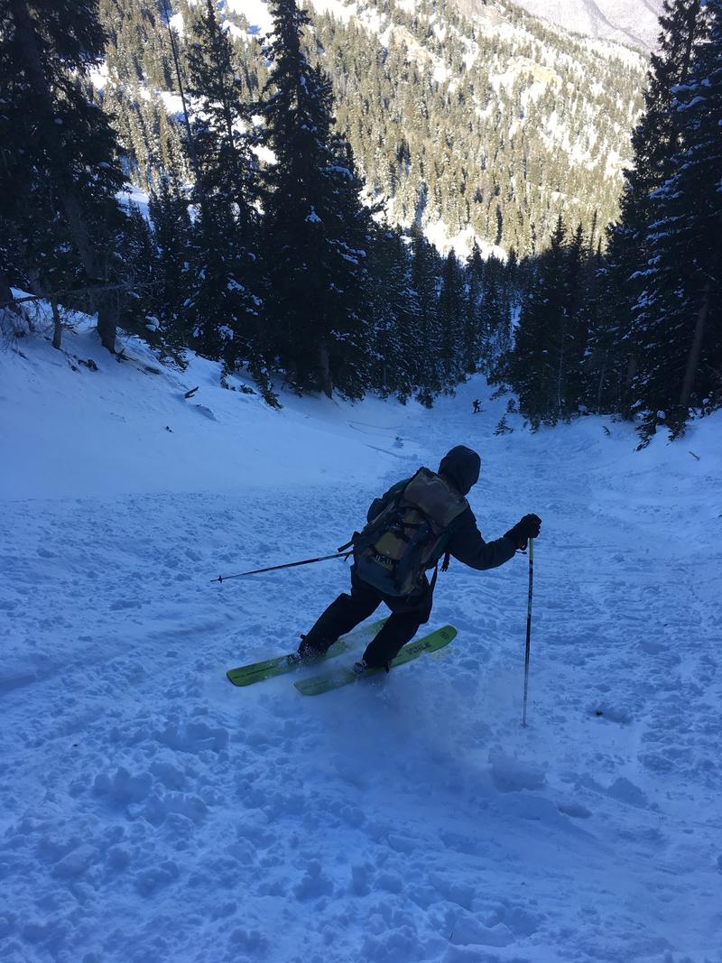
The photo below shows the path where Saturday's avalanche carried the skier with young trees in the path near the bottom.
Ad
Avalanche Problem #1
Persistent Weak Layer
Type
Location
Likelihood
Size
Description
A persistent weak layer of sugary, faceted snow crystals is buried under a slab 2-4 feet thick. The skier triggered avalanche on Saturday slid on this layer. At least two parties in the backcountry yesterday triggered a collapse on this weak layer. About a week ago, avalanches and collapsing were widespread but are now isolated occurrences.
I'm not sure of the exact odds of triggering an avalanche on this layer, but it has become harder to do. However, Saturday's accident and isolated collapsing is a clear indication that it is still very possible to trigger one. This layer exist on any slope that had snow prior to Thanksgiving. However, this layer is weakest and most likely to produce an avalanche at upper elevation slopes facing NW, N, NE and E which had the thickest layer of old snow.
What to do?
  1. Ride south-facing slopes where this layer doesn't exist
  2. Ride slopes less than 30 degrees in steepness where avalanches generally don't happen
  3. If riding northerly facing slopes that are steep enough to slide, choose ones with a clean run-out free of trees and rocks.
  4. Dig a snowpit. Why? Read more at the bottom.
Avalanche Problem #2
Wind Drifted Snow
Type
Location
Likelihood
Size
Description
Winds increased a little yesterday morning and may increase this afternoon. There isn't much light snow available for these winds to transport, but look for evidence of wind-drifting that could form small slabs of snow. These shallow wind slabs could produce small avalanches.
Additional Information
Why dig a snowpit? ​​​​​How can it help?
​Digging is a key part of decision making. The general consensus is that the best decision-making occurs when we stop. Digging a snowpit may not provide the answers but think of it as a decision making tool that facilitates conversations among group members. Digging a snowpit changes our perspective. We are emotional creatures, and standing with our eyes even with the snow surface helps us think a little differently. It engages us on an emotional level and improves decision making.
If nothing else, consider every snowpit a little bit of rescue practice. Shoveling is the hardests most time-consuming part of a rescue. Personally, I use snowpits as a chance to get faster at pulling out and assembling my shovel and learning the quickest way to move lots of snow.
General Announcements
This information does not apply to developed ski areas or highways where avalanche control is normally done. This forecast is from the U.S.D.A. Forest Service, which is solely responsible for its content. This forecast describes general avalanche conditions and local variations always occur.