Forecast for the Salt Lake Area Mountains

Evelyn Lees
Issued by Evelyn Lees for
Friday, November 9, 2018
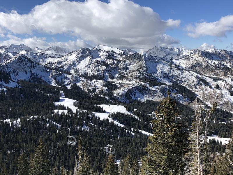
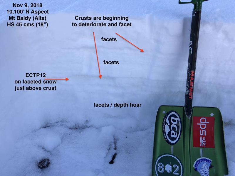
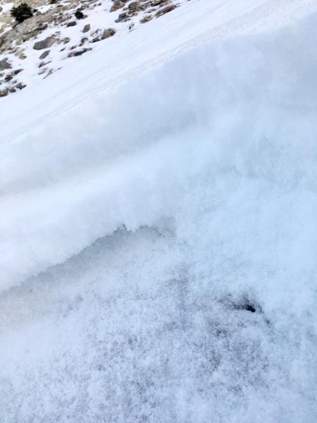
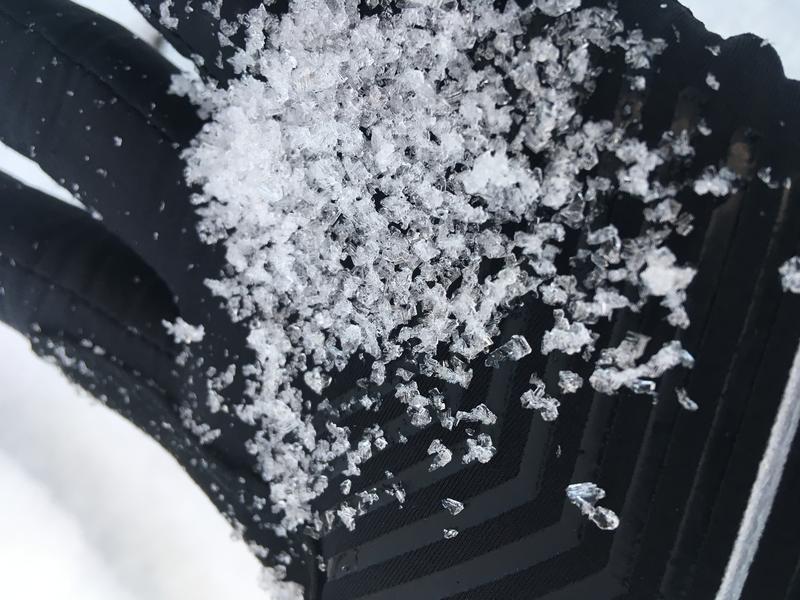
We are not issuing danger ratings with our forecasts at this time, but if there is enough snow to make turns or a slope is solid white - there is enough snow for avalanches. However, the greatest current hazard is hitting buried rocks, stumps, and downed timber. Ski resorts all have different uphill travel policies, so be sure to check the uphill policy of any ski resort before you plan on visiting. With no avalanche mitigation in place, closed ski areas are no different than the backcountry.
Low
Moderate
Considerable
High
Extreme
Learn how to read the forecast here
Weather and Snow
About 8-16" of snow exists on upper elevation shady aspects, with the steeper sunny slopes mostly melted back down to bare ground.
Our current snowpack is layers of faceting snow, with buried rain and temperature crusts. With clear skies, the snow and crusts on the shady slopes are weakening and turning into facets - weak, sugary crystals. Below is the view of the snowpack from Alta (not open, so treat as backcountry). This is typical of the upper elevation, northerly snowpack :
Below are two great photos from Patrick Fink's observation from Wednesday - weakening, faceted snow, especially near the ground...
Recent Avalanches
A small wind slab and a few sluffs were triggered on Monday in Little Chute on Baldy, northeast facing at 11,000. Several small to large collapses have occured over the past few days, below the rain crusts. These have been on upper elevation, northerly facing slopes.
Click HERE to get to our Observation Page.
Date Region Observer
11/9/2018 Salt LakeObservation: Alta Ski Area Greg Gagne
11/7/2018 Salt LakeObservation: East Bowl Patrick Fink
11/7/2018 Salt LakeObservation: Gunsight mark white
11/6/2018 Salt LakeObservation: Alta Ski Area Chirstopher Pond
11/5/2018 Salt LakeAvalanche: Baldy Chris W
Ad
Additional Information
What you see is what you get...with no change in sight for at least a week. Cool, clear high pressure will keep mountain temperatures in the 20s and 30s, and overnight lows in the teens and 20s. There are hints of a pattern change by around Thanksgiving.
Take some time to explore the National Weather Service's new Snow Page.