Join us this weekend at the 12th annual Greatest Snow (and avalanche workshop) on Earth. Tickets still on sale for Pro, Motorized and Open Session.
More info Octobruary is in full swing with another storm on the doorstep.
Mountain temps rebounded a bit from this morning's single digits, but they'll plunge again tomorrow to well below zero in the mountains. Wind chill may reach -25°F by late Tuesday into Wednesday as the flow shifts more north and northeasterly.
A very cold but quick hitting storm arrives this evening that should produce 6-12" of very low density snow in the mountains with snow again reaching the valleys. Lake enhanced snow totals are likely.
This should up the ante to about 10-16" on the Park City ridgeline and up to 2' on the ground in the upper reaches of the Cottonwoods. (These snow depths reflect, of course, upper elevation shady slopes.)
Avalanche Situation:
Currently, the snowpack is a mix of wind and sun crusts, facet sandwiches, and recent settled snow. Early season often sports the most dramatic variability in snow structure. As such, each slope should be assessed separately and caution should be observed. For Tuesday, the low density snow will sluff naturally and with provocation on all the steepest slopes of the upper elevations, and may well step down to the slick underlying crusts (prior to Sunday's 4-6" storm) on the steepest slopes facing east and west. Human triggered wind and storm slabs are also possible in the highest wind drifted terrain and in areas that receive the most snow.
Weather Outlook:
The storm should wind down Tuesday night into Wednesday. Winds expected to blow 15-25mph tomorrow into tomorrow night. Clear skies should prevail through the remainder of the week with slowly warming temperatures.
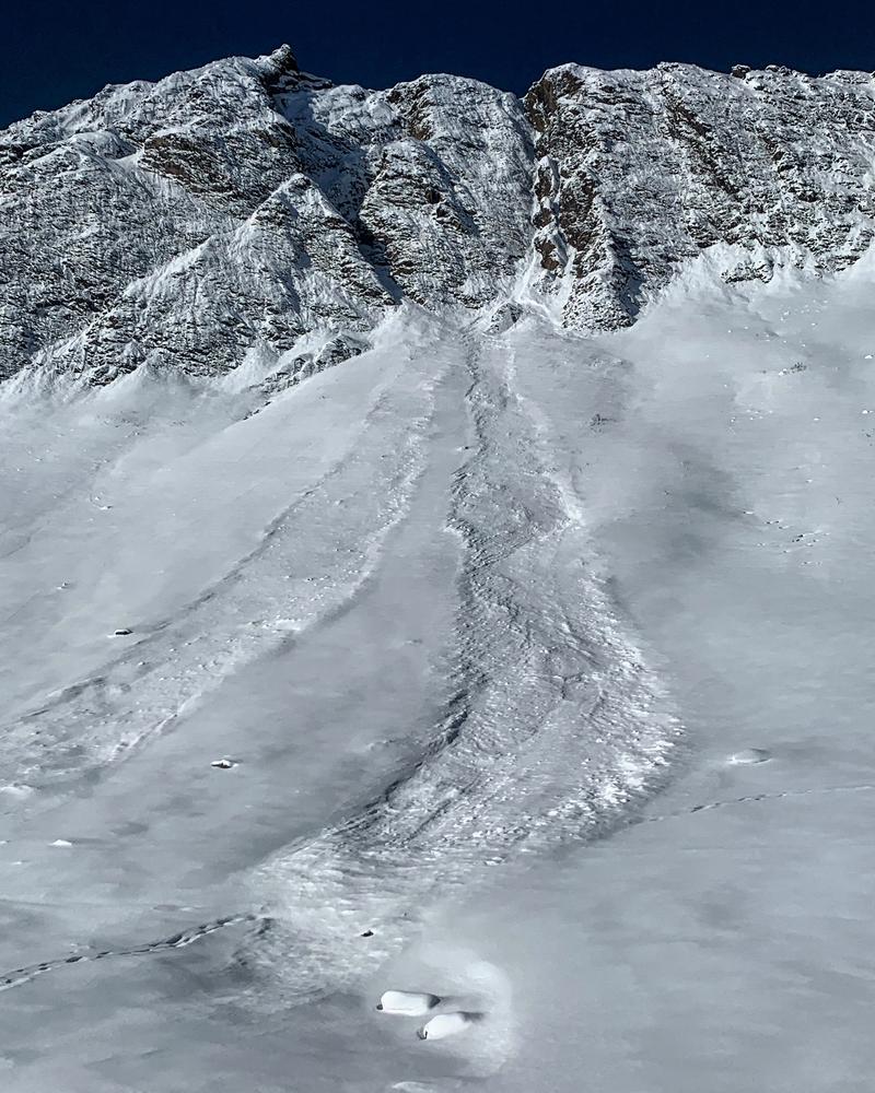
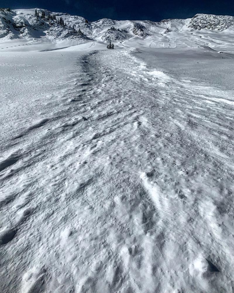
In upper Cardiff Fork of Big Cottonwood Canyon today, Mark White noted plenty of sluffing in Sunday's storm snow as well as one natural wind slab pocket that he reported as nearly a foot deep and 30' wide. This wind drift was in steep east facing terrain along the highest elevations of Cardiac Ridge. Many of these sluffs ran 500-1000 vertical. Photos below.