Forecast for the Salt Lake Area Mountains

Issued by Mark Staples on
Wednesday morning, January 23, 2019
Wednesday morning, January 23, 2019
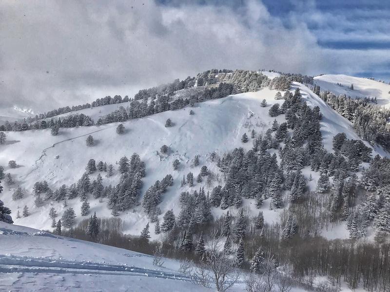
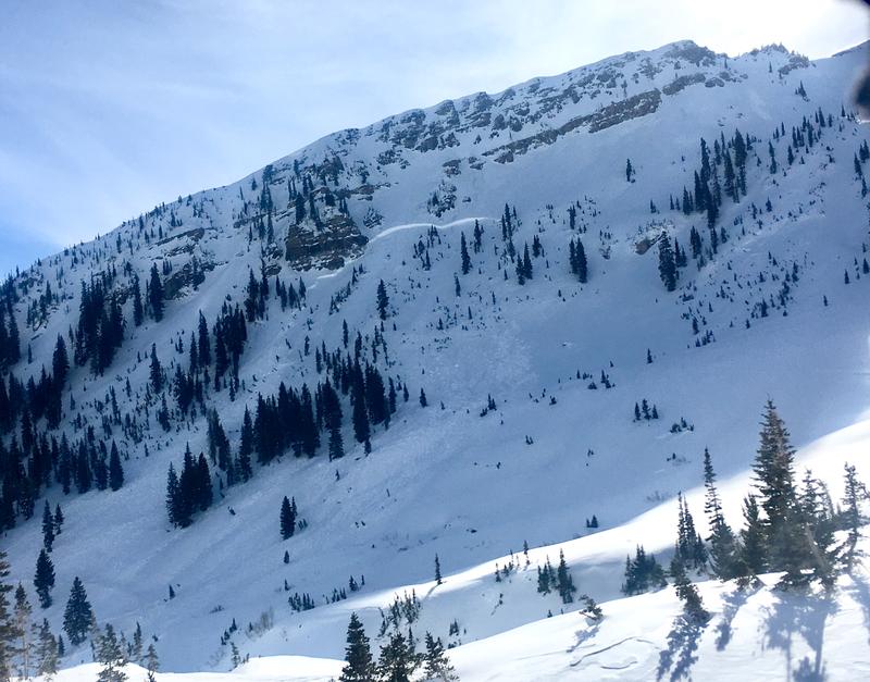
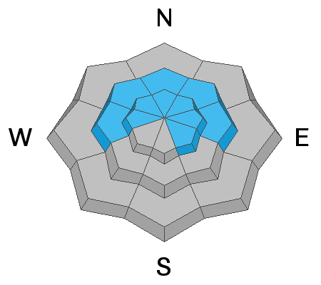
Today wind drifting is the main issue. With increasing winds today plus more snow this afternoon, the avalanche danger is CONSIDERABLE at mid and upper elevations. Low elevations have a MODERATE danger. Avoid wind loaded slopes and you'll avoid most avalanches. With such a huge load of snow over the last week, the possibility remains for slides to break deeper in the snowpack. These avalanches are not likely and would be hard to trigger, but this possibility means it's worth giving the snowpack more time to stabilize.

Low
Moderate
Considerable
High
Extreme
Learn how to read the forecast here