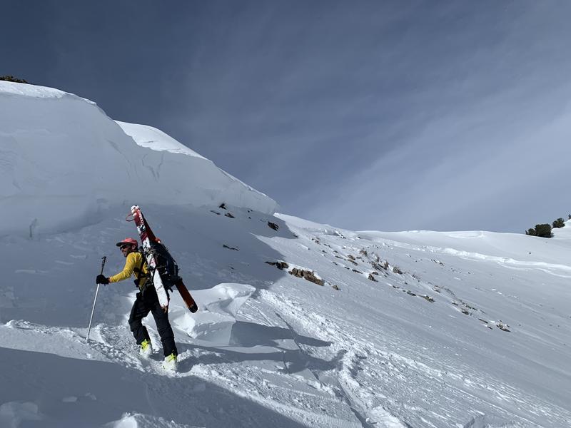
There have been wildlife sightings, including a Momma moose with two calves in Mill D North and another family in Butler Fork. Although we all have appreciated the bountiful snowfall this winter, it has been hard on wildlife. Please be respectful of any wildlife you are fortunate enough to encounter by giving them a wide berth.
Skies are mostly cloudy.
Mountain temperatures are in the upper 20s and low 30s. Winds are from the southwest, blowing 25-30mph with gusts to 45. The most exposed ridgelines are seeing hourly averages of 35-40mph with gusts to 50. It felt downright Cascadian yesterday, with dripping trees and rollerballs and pinwheels in the snow. Sun, wind, and warm temperatures have taken a toll on the riding conditions, but another storm is on the doorstep.
Today we'll have increasing clouds with light snowfall in the afternoon. Mountain temperatures will be in the mid-20s up high, the low 30s down low. Moderate winds will blow from the southwest with occasional strong gusts. The bulk of the snowfall will be tonight through tomorrow. 6-10" may be expected, with higher amounts in favored areas. A weaker storm is slated for Monday night and perhaps another storm on Thursday.
No new avalanches were reported from the backcountry yesterday. Ski area control teams triggered new soft slabs of wind blown snow and cornices were breaking back further than expected.
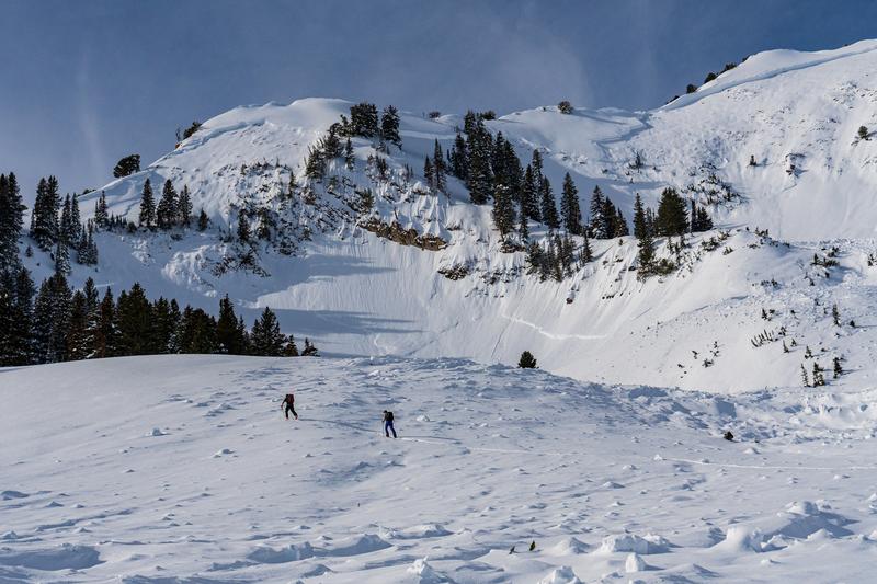
Gobbler's Knob avalanche, pc: Meisenheimer.
Thursday's and Friday's clearing skies provided for first class avalanche viewing, from Logan to Ogden to the central Wasatch and down to Provo. These avalanches are something to behold. In the central Wasatch, four natural avalanches from midweek are particularly noteworthy:
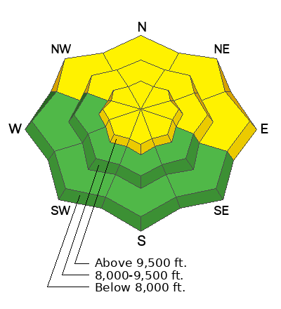
- Gobblers Knob into Butler Basin. NE>SE aspects at 10,200. 6-8' deep, 3,500' wide, ran close to 2,000' vertical. Failed on November facets. Trent visited the site on Thursday with retired UAC director Bruce Tremper, and Bruce said he has never seen that avalanche path run this big in his entire career in the Wasatch.
- Mineral Fork. The entire west wall of Mineral Fork, from Barrieto to Moonlight.
- Grandview Peak. Estimated 6' deep and 500' wide.
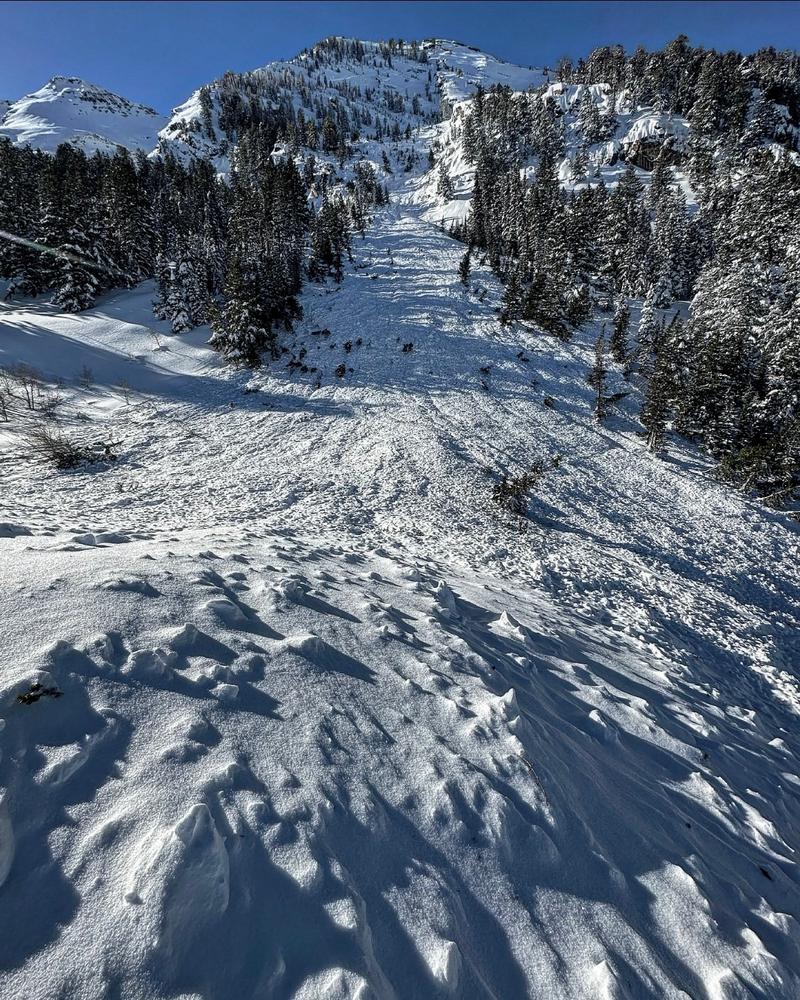
- Broads Fork. The White Room, just down canyon from Bonkers. 9700' NE facing (Mark White photo below)

