Forecast for the Provo Area Mountains

Nikki Champion
Issued by Nikki Champion for
Wednesday, April 10, 2024
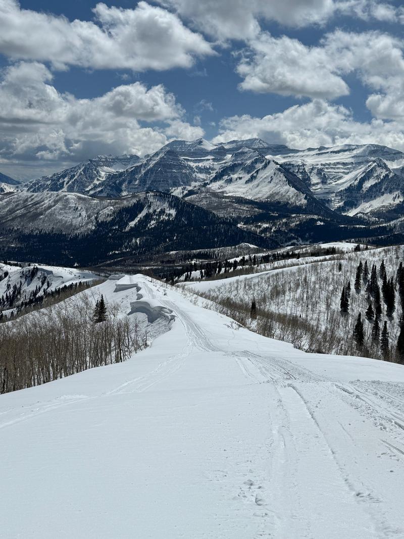
The snowpack is generally stable, and the avalanche danger is overall LOW this morning, with normal caution advised. The two main concerns are isolated pockets of wind-drifted snow in exposed upper-elevation terrain and wet snow on the steep solar slopes.
Most of the drifting will be on north to east to south facing aspects, but terrain channeling may drift snow onto any aspect. These soft slabs should be easy to recognize this morning; avoid any slopes with obvious signs of wind-drifted snow.
Throughout the day, as the winds decrease, the strong sunshine may cause the avalanche danger to rise at all elevations facing east-south-west. In these areas, it could become possible for humans to trigger wet loose snow avalanches.
Low
Moderate
Considerable
High
Extreme
Learn how to read the forecast here
Weather and Snow
This morning, under clear skies, trailhead temperatures are in the upper-30s °F, while the highest peaks are in the low 30 °F. Some trailhead temperatures did not drop below freezing overnight. Winds at the mid-elevation ridgelines are northwesterly and gradually increased overnight, blowing at low double-digit speeds, with gusts near 35 MPH. At the highest peaks nearby gusts reached up to 80 mph.
Today should be a beautiful day in the mountains with warm temperatures and sunny skies. Temperatures should climb into the upper 40s and even low 50s °F, with winds blowing from the northwest at 5-15 MPH, gusting to 25 MPH at the mid-elevation ridgelines. At the highest ridgelines, winds will blow at 15-30 MPH with gusts up to 35 MPH.
Outlook: High pressure builds over the remainder of the week, with the highest temps expected by Friday.

These are the days to get after it: excellent coverage, excellent riding conditions, 5 star views. Forecaster Dave Kelly, UDOT forecaster John Woodruff cruising the Wasatch Back -
Recent Avalanches
None.
Ad
Avalanche Problem #1
Normal Caution
Type
Location
Likelihood
Size
Description
The snowpack is generally stable and natural and human-triggered avalanches are unlikely. Low danger does not mean no danger. In isolated areas, you may encounter:
  • Pockets of fresh wind drifted snow along exposed ridges and in open terrain at the upper elevations. The moderate to strong northwesterly winds from yesterday evening into this morning will have transported the soft snow onto leeward aspects to form sensitive drifts that will be reactive to riders today. Rounded pillows of new snow that crack or collapse on approach are sure signs that the wind-drifts are sensitive and should be approached with caution.
  • Wet avalanches will be increasingly possible with direct sun and warming temperatures. Look for the tell-tale signs and pre-cursors of wet avalanches (pinwheels, rollerballs, etc) and you'll want to avoid being on or beneath steep sun-effected terrain when the snow becomes wet, unsupportable and unstable. Remember that wet debris sets up like concrete and wet slides are often more difficult to escape once you're caught up in the cement mixer.
  • Cornices and roof-avalanches present a real danger today as well. Give both a wide berth.
General Announcements
This information does not apply to developed ski areas or highways where avalanche control is normally done. This forecast is from the U.S.D.A. Forest Service, which is solely responsible for its content. This forecast describes general avalanche conditions and local variations always occur.