Forecast for the Provo Area Mountains

Drew Hardesty
Issued by Drew Hardesty for
Monday, March 4, 2024
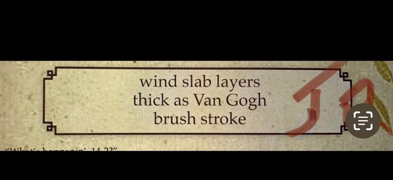
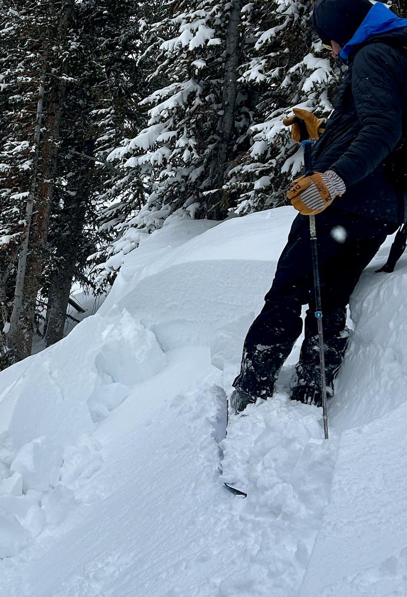
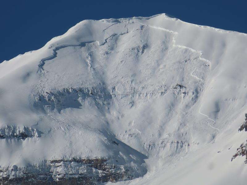
Areas of CONSIDERABLE avalanche danger exists on many steep wind drifted slopes across the compass. You can trigger 1-3' thick soft and hard slabs of wind drifted snow even along the low elevation bands in exposed terrain. Note that many drifts will be found in unusual locations. Some of these initial avalanches may step down into older weaker layers leading to larger avalanches. Cornices, too, are becoming unruly and may break back well beyond the ridgelines.
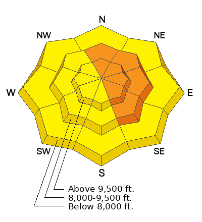
Low
Moderate
Considerable
High
Extreme
Learn how to read the forecast here
Special Announcements
We are seeking a passionate individual to join us as Executive Director of the nonprofit Utah Avalanche Center.
Weather and Snow
Skies are overcast.
Winds are from the west-southwest, blowing 15-20mph with gusts to 30mph. Along the highest ridgelines, anemometers are spinning 25-30mph with gusts to 50mph.
Mountain temperatures are in the single digits to low teens.
We recorded a trace to 2" inches of new snow overnight and storm totals over the weekend are roughly 8-14", comprising about an inch of snow-water-equivalent. Strong winds from the northwest and particularly the southwest have wreaked havoc on the riding conditions, but left as a parting gift an easily recognizable thin layer of dust from the West Desert, now buried about a foot deep.

For today, we'll have light snowfall that may add up to an additional 2-4". Winds will blow from the west at 20-25mph. Mountain temperatures will remain cold in the single digits and low teens. The week looks unsettled and messy with a couple weak disturbances that may offer an inch of snow here and there.
Jerry Roberts 1948-2023
Recent Avalanches
We didn't hear of any avalanches in the Provo area mountains yesterday, but in the central Wasatch, ski areas and backcountry observers triggered shallow soft slabs of wind drifted snow 8-16" thick and up to 100' wide on a variety of aspects and elevations.
Example in the upper LCC below. These drifts are big enough to knock you off your feet and drag you through trees.
Ad
Avalanche Problem #1
Wind Drifted Snow
Type
Location
Likelihood
Size
Description
You can still trigger soft or pockety hard slabs of wind drifted snow 1-2' deep on a variety of aspects and elevations today. Note the smooth and rounded texture of the wind drifted soft slab below.
It should be noted that while ridgetop winds were strong from a westerly direction, these swirling and eddying winds deposited many slabs onto westerly facing aspects in the mid and low elevations. See graphic below. These soft slabs will be increasingly stubborn, but may break out above you. These soft slabs may fail on a thin layer of graupel just above the March 1st dust layer, or along any density break within the storm snow.
Additional Information
The Provo area mountains have widely variable snow and avalanche conditions. The American Fork area and the Wasatch Back had some of the weakest and thinnest snow of northern Utah up until a couple weeks ago and seem very different than other areas. Along the upper reaches of the Cascade ridgeline and Timpanogos, natural avalanches have run and repeated over and over on weak faceted snow from early season and/or early December (see photo example - below from two weeks ago). That this localized structure has been subjected to a significant wind event and over 1" of snow water equivalent, the danger is rated as CONSIDERABLE on many steep wind drifted slopes that may step into this older layering.
photo: UDOT Provo
General Announcements
This information does not apply to developed ski areas or highways where avalanche control is normally done. This forecast is from the U.S.D.A. Forest Service, which is solely responsible for its content. This forecast describes general avalanche conditions and local variations always occur.