Forecast for the Provo Area Mountains

Greg Gagne
Issued by Greg Gagne for
Tuesday, March 12, 2019
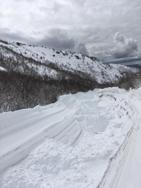
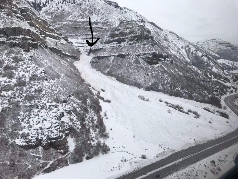
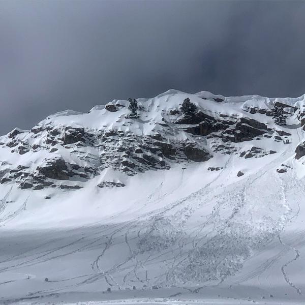
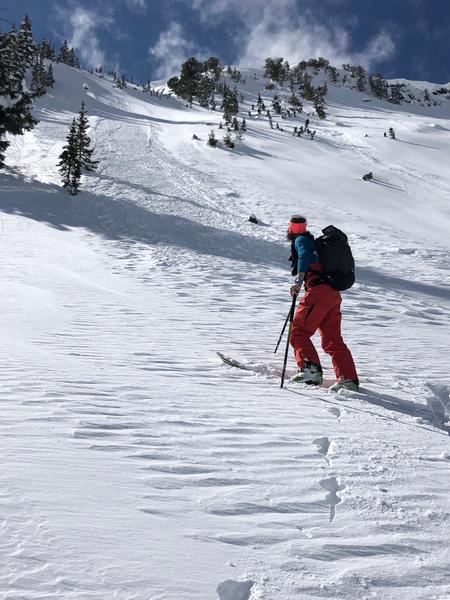
The hazard will rise to at least Moderate with heating from the sun, This includes east, south, and west aspects as well as low elevation northerly aspects. Both wet loose and cohesive wet slab avalanches are possible. Additionally, many slopes still have a CONSIDERABLE danger at the mid and upper elevations. It's also possible to trigger a much larger and deeper slide that breaks into deeper weak layers on aspects facing northwest through north through southeast at the mid and upper elevations.
Low
Moderate
Considerable
High
Extreme
Learn how to read the forecast here
Weather and Snow
Temperatures this morning in the Provo mountains are in the 20's F and winds are very light, less than 10 mph. Skies are clear.
Soft, dry snow remains on northerly aspects above about 8500’where excellent riding conditions can still be found. All other aspects will be crusted.
Skies will be mostly clear today, but clouding up later in the afternoon. Winds will be out of the south/southeast and light in the low and mid elevations, averaging < 10 mph. At the upper elevations a few gusts may reach the 20’s mph. Temperatures will rise into the upper 20’s F in the upper elevations, and 30’s in the mid elevations; even warmer at the low elevations. Improving conditions as a cold and windy storm moves in overnight and into Wednesday. We can expect about 3-6" out of this system, with higher amounts in areas favored by a northwest flow such as upper Little Cottonwood to the north.
Recent Avalanches
The only avalanche reported from Monday was wet loose avalanching on solar aspects. However, this past Friday afternoon we went through a widespread new snow avalanche cycle during a period of increased snowfall intensity. Numerous slide paths ran naturally with impressive debris piles noted off Timpanogos and in runout zones in Dry Creek above the town of Lehi (pic below). I would suspect many repeater avalanche paths ran with the storm leaving large avalanches and debris piles in their wake. These slides are powerful and in some cases have pulled and eroded large areas of rock along the track (see UDOT Provo pic below)
Thanks to Joe Martel with his excellent report here -
Ad
Avalanche Problem #1
Wet Snow
Type
Location
Likelihood
Size
Description
Aided by clear skies and light winds, the strong March sun will quickly go to work today and heat east, south, and west aspects, including shaded or northerly aspects below about 8000'. Although I am expecting most activity to be wet loose (such as Mark White's photo below from yesterday in Cardiff Fork in the Salt Lake mountains), I also think cohesive slabs of damp/wet snow are possible, where these wet slabs could break out more widely and run on sun crusts that formed on Saturday. I do think the generally minor wet activity the past few days has slowly allowed the snowpack to adjust to warming, but today will be a more significant warm-up and I am expecting much more widespread wet activity - including larger avalanches - than the past two days. Move off of and out from underneath any steep slope once you see any sign of warming - such as rollerballs, natural wet sluffs, and unsupportable snow.
Cornices - Avoid traveling across or underneath corniced ridgelines as today's warming may make cornices reactive. (Bombard photo)
In 2016, Drew Hardesty presented on an analysis of Utah avalanche fatalities (link) at the ISSW workshop in Breckenridge, CO which mentions 5% of Utah avalanche fatalities involve cornice falls.
Avalanche Problem #2
Persistent Weak Layer
Type
Location
Likelihood
Size
Description
I suspect many avalanches stepped down into older weaker layers leftover from previous avalanche events from January and March. These may have been many feet deep and hundreds of feet wide and most likely on northwest to northeast to southeast facing slopes at the mid and upper elevations. As one can see from the photos, these avalanches have - and can still - run quite far even into assumed safe terrain. The Provo snowpack remains dangerous on many aspects and elevations, and today's increasing temperatures may make conditions even more sensitive. Even very experienced people are giving a wide buffer of margin in this terrain. These are difficult and dangerous conditions to assess - from Cascade to Box Elder to Timp to the southern Wasatch Back (Snake Creek to Mill Canyon Peak).
Avalanche Problem #3
New Snow
Type
Location
Likelihood
Size
Description
There was enough avalanche activity on Monday in the Salt Lake mountains involving recent storm snow that warrants our continued attention on those mid and upper elevation northerly aspects where you will also find the best riding conditions. This includes sluffing in steep terrain (photo below), and pockets of denser storm snow or wind drifts in the higher terrain in the alpine (Trent has an excellent observation from Hogum Fork just to the north describing this). Yesterday I was finding recent instabilities within the top 2’ of snow to have largely settled out, but I would watch for areas where graupel has possibly pooled, such as below steeper cliff bands. This is pretty easy to evaluate with quick hand pits or pulling out your shovel - looking for the structure of a stronger slab over weaker snow (such as a denser slab on top of a layer of loose graupel.)
General Announcements
This information does not apply to developed ski areas or highways where avalanche control is normally done. This forecast is from the U.S.D.A. Forest Service, which is solely responsible for its content. This forecast describes general avalanche conditions and local variations always occur.