Forecast for the Provo Area Mountains

Nikki Champion
Issued by Nikki Champion for
Thursday, December 28, 2023
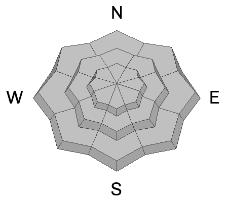
Overall, the avalanche danger is generally LOW, and normal caution exists. Isolated shallow, soft, or hard slabs of wind-drifted snow may exist in exposed terrain at the upper elevations. Soft slabs may exhibit shooting cracks and are typically sensitive to triggers. Meanwhile, hard slabs can be smooth and round, releasing once well onto the slope.
In wind-protected terrain, the possibility of triggering loose sluffs that can catch and carry a skier or rider down the slope remains.
Low
Moderate
Considerable
High
Extreme
Learn how to read the forecast here
Special Announcements
To fulfill our mission, the UAC relies on our amazing backcountry community. Your support helps pay for the daily avalanche forecast, free awareness presentations across the state, and new tools like the new Avalanche and Observation Explorer. As the end of the year approaches, please consider donating to the UAC.
Weather and Snow
This morning, under cloudy skies, there is an inversion in the mountains. Temperatures are in the low 30s F along ridgelines and in the upper teens at trailheads. Winds are primarily from the northwest, gusting in the 20s mph along mid-elevation ridges with gusts in the 30s along the highest peaks.
Today, skies remain partly cloudy, temperatures will rise into the upper 20s F, and the northwesterly winds will remain generally light, gusting up to 25 mph along the highest peaks.
General Outlook: The weather models show weak disturbances ahead that lack precise aim or direction. We’ll keep an eye on it. In the meantime, travel is easy, and skiing and riding conditions are pretty good in sun and wind-sheltered terrain without old tracks. As the surface continues to weaken, the riding will continue to improve a bit in protected areas. Read, loud pow. While this could be an issue once we add load to the weak surface, we can enjoy some soft turns now.
Recent Avalanches
Yesterday, two reports of shallow hard slab avalanches of wind-drifted snow released 6-12” deep on a layer of facets in the Provo area.
  • Miller Hill - Outside of the Snowbird Boundary - American Fork - 10,000’ - East Aspect - 12” deep - 50’ wide - ran 150’ (See video below)
  • East Provo Peak - South of Cascade Peak - 10,900’ - East Aspect - 6” deep - 30’ wide
Video: Sean Zimmerman-Wall - Snowbird Mountain Guides
Ad
Avalanche Problem #1
Normal Caution
Type
Location
Likelihood
Size
Description
Overall, the avalanche danger is LOW, and normal caution exists. Although avalanches are unlikely, they are not impossible. In isolated areas, you may encounter:
  • Shallow, soft, and hard slabs of wind-drifted snow along the highest ridgelines and mid-elevation terrain features that facilitate snow drifting. These slabs are most common on north, east, and southwest-facing slopes. Soft slabs may exhibit shooting cracks and are typically sensitive to triggers. Hard slabs, however, can be smooth and round and might not release until you’re well onto the snow surface.
  • Long-running, loose, dry avalanches and sluffing out of the wind zone. The snow surface continues to weaken in many areas; as this happens, we will continue to see small sluffs in steep, wind-protected terrain. These avalanches will not be very big, but enough to knock riders off their feet and sweep them through consequential landscape.
  • A larger avalanche breaking down into faceted snow in steep, thin, rocky terrain on aspects facing northwest through east, and even southeast at the mid and upper elevations.

Remember that low danger is not the same as no danger. Read more about the Danger Ratings HERE.
Additional Information
What happened to the Persistent Weak Layer (PWL) problem? The PWL problem first appeared in the December 1 forecast and was removed from the forecast on Wednesday, December 20. On Thursday, December 21, forecasters Nikki Champion and Greg Gagne talked about the PWL problem over a Zoom call and their 5-minute discussion. Be sure to watch the video.
General Announcements
This information does not apply to developed ski areas or highways where avalanche control is normally done. This forecast is from the U.S.D.A. Forest Service, which is solely responsible for its content. This forecast describes general avalanche conditions and local variations always occur.