Forecast for the Provo Area Mountains

Greg Gagne
Issued by Greg Gagne for
Monday, December 25, 2023
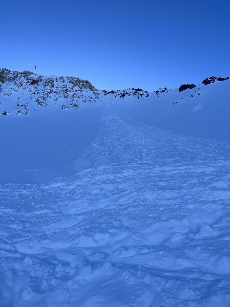
The avalanche danger is LOW. Although avalanches are unlikely, watch for small avalanches in isolated areas, including
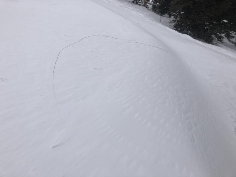
- pockets of wind-drifted snow at the upper elevations that are up to 6" thick;
- sluffing in the loose snow on steep and sustained aspects.
Low
Moderate
Considerable
High
Extreme
Learn how to read the forecast here
Special Announcements
To fulfill our mission, the UAC relies on our amazing backcountry community. Your support helps pay for the daily avalanche forecast, free awareness presentations across the state, and new tools like the new Avalanche and Observation Explorer. As the end of the year approaches, please consider donating to the UAC.
Weather and Snow
This Morning: Skies are clear and temperatures range through the teens F. Winds are from the west/northwest and have been increasing since late Sunday afternoon, gusting into the 20's mph in exposed, upper-elevation terrain and along the Ogden Skyline.
Today: Sunny with a few high clouds with temperatures rising into the low 20's F. Winds will be from the northwest gusting into the 20's mph at the highest elevations.
This Week: A few snowflakes are possible later Tuesday and then again Thursday. Although we may see a few inches of snow in about a week, there are no significant storms are in sight.
Recent Avalanches
No backcountry avalanches were reported from the Provo mountains on Sunday. In the Salt Lake mountains, a natural avalanche was reported in the upper Cottonwoods (photo below) on a northeast aspect at 10,700'. This was a fresh wind slab 4-6" deep (although up to 12" in places) that ran 300' vertical. This wind slab formed late Sunday afternoon as the northwest winds began to increase.
Ad
Avalanche Problem #1
Normal Caution
Type
Location
Likelihood
Size
Description
A risk of avalanches is always present in avalanche terrain. Two issues to watch for today are:
1. Fresh wind drifts at the upper elevations. Watch for smooth rounded pillows as an indication of a wind-loaded slope and cracking as an indication of sensitivity (photo below)
2. Sluffing in the new snow on steep and sustained aspects.
Additional Information
What happened to the Persistent Weak Layer (PWL) problem? The PWL problem first appeared in the December 1 forecast and was removed from the forecast on Wednesday, December 20. On Thursday, December 21, forecasters Nikki Champion and Greg Gagne talked about the PWL problem over a Zoom call and their 5-minute discussion. Be sure to watch the video.
General Announcements
This information does not apply to developed ski areas or highways where avalanche control is normally done. This forecast is from the U.S.D.A. Forest Service, which is solely responsible for its content. This forecast describes general avalanche conditions and local variations always occur.