Fall Auction is now live! Check it out now

Forecast for the Provo Area Mountains

Trent Meisenheimer
Issued by Trent Meisenheimer on
Friday morning, December 23, 2022
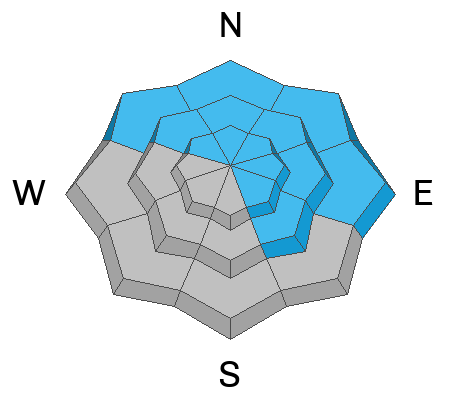
The avalanche danger today is CONSIDERABLE on all mid and upper-elevation steep slopes. Strong winds have drifted snow into hard and soft slabs over the past 48 hours. These wind-drifted snow avalanches will likely be 1-2 feet deep and up to 100 feet wide.
Give extra caution to northerly facing terrain that has received the additional weight of wind-drifted snow because of a persistent weak layer of faceted snow buried 1-4 feet deep. An avalanche here would likely be a season-ender or worse.

The avalanche danger is MODERATE on low-elevation slopes with less wind and new snow.
Low
Moderate
Considerable
High
Extreme
Learn how to read the forecast here
Weather and Snow
Under mostly cloudy skies, the mountain temperatures range from 15-20 °F. The winds have finally relaxed and are blowing west-northwest at 5-10 mph across many upper-elevation ridgelines. At 11,000', the west-northwest winds are still humming along at 25-30 mph.
Today we will see temperatures rise into the upper 20s °F as a weak storm moves in this morning. We can expect mostly cloudy skies with some light snowfall throughout the day with accumulations of a few inches of snow.
Yesterday's 1-2 inches of new snow was whipped into some dense velvety cream cheese and splattered all over the range from the very powerful and erratic winds from the past 48 hours. Some slopes have smooth shallow powder, while others are stripped down to old tracks and crusts.
Recent Avalanches
A few more wind-drifted soft slab avalanches were reported from the backcountry yesterday. These wind slabs were mainly soft and ranged from 12-24 inches deep and up to 50 feet wide. Be sure to click through the observations HERE.
Check out the Week in Review that highlights the prior week's significant snowfall, weather, and avalanche events.
Ad
Avalanche Problem #1
Wind Drifted Snow
Type
Location
Likelihood
Size
Description
Very strong winds from the past 48 hrs have wreaked havoc throughout northern Utah. These winds and couple inches of new snow have created soft and hard slabs of wind-drifted snow scattered around the compass.
Be on the lookout for any slope loaded by the wind. This includes slopes across the mid-elevations as well. Terrain features like mid-slope break overs and cross-loaded ridges or gullies should be on everyone's mind. I expect to find wind slabs well off the ridgelines today and in odd locations that we might not "normally" see.

Any wind slab avalanche that you trigger has the potential to step down into deeper weak layers within the snowpack, creating a more dangerous avalanche (see the persistent weak layer description below).
Avalanche Problem #2
Persistent Weak Layer
Type
Location
Likelihood
Size
Description
Weak, sugary faceted snow (persistent weak layer) is now buried 1-4 feet deep on almost all aspects and elevations throughout the Wasatch Range. Avalanches failing on a persistent weak layer will likely be 1-4 feet deep and a few hundred feet wide.
Avalanches will be more likely on steep slopes with recent wind-loading that face northwest, north, east, and southeast. Avalanches are less likely on sunny aspects facing west, southwest, and south, where there have not been any reported avalanches failing to this layer.
General Announcements
As the end of the year approaches, please consider a donation to the UAC to support avalanche forecasting.

This information does not apply to developed ski areas or highways where avalanche control is normally done. This forecast is from the U.S.D.A. Forest Service, which is solely responsible for its content. This forecast describes general avalanche conditions and local variations always occur.