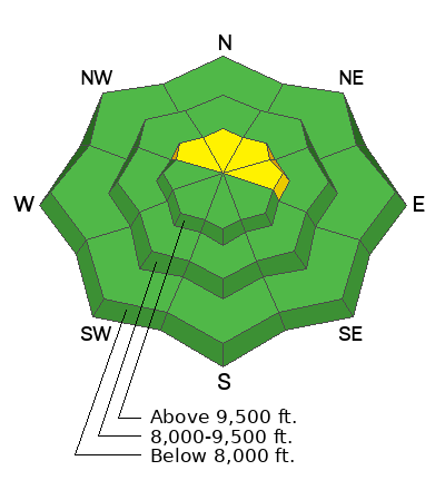
As of 6 am, temperatures are in the teens and winds from are the southwest and generally light, with gusts in the 20's mph along exposed ridges above 10,000' . Light snow began falling around 2 am with a trace to 3" of snow.
For today, temperatures will rise into the mid and upper 20's F and winds will remain light, with gusts in the 20's mph along upper elevation ridgelines and summits. Winds will be from the southwest this morning, transitioning to a more westerly direction as the day progresses. 2-4" of snow is expected by sunset.
For this weekend, a short break overnight and into Saturday, with snow beginning late Saturday afternoon and lasting into Sunday. This storm will come in right-side up, beginning with warm, denser/heavier snow and ending with cold, lower-density snow. This could be a decent - and much-needed! - snow producer, with 8-12" of snow and an inch of water. A weak system is expected around Tuesday, with a few inches of snow possible.
No avalanches were reported from the backcountry.
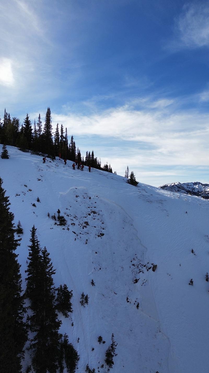
On Wednesday, the snow safety team at Park City Mountain Resort (PCMR) intentionally triggered an avalanche using explosives on a north-facing slope around 10,000' that failed on the persistent weak layer (PWL) and broke down to the ground. This avalanche was in closed terrain and has a backcountry snowpack. Working with the PCMR snow safety team on Thursday, Dave and Johanna Kelly looked at this avalanche and the overall snowpack along the Park City ridgeline and you can
read the full report from their field day.


