Forecast for the Provo Area Mountains

Nikki Champion
Issued by Nikki Champion for
Thursday, January 19, 2023
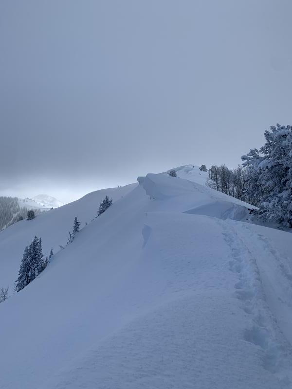
The avalanche danger is MODERATE at all upper and mid-elevation slopes where freshly formed wind drifts, and both soft slab and dry loose avalanches within the new snow are the main avalanche problems. The avalanche danger is LOW at the lower elevations where there has been less new snow. Evaluate snow and terrain carefully today.

Practice safe travel techniques, exposing only one person at a time to steep terrain over 30 degrees. Even a small avalanche could entrain a large amount of snow today, think about where a rider might end up if swept off their feet.
Low
Moderate
Considerable
High
Extreme
Learn how to read the forecast here
Weather and Snow
This morning, there is an inversion in the mountains with trailhead temperatures hovering in the single digits F, and ridgeline temperatures in the mid-teens F. Winds have transitioned to south southwesterly, and are blowing 5-15 mph with gusts up to 30 mph at the highest ridgelines. Overnight winds hit gusts closer to 45 mph.
Today the south winds will increase as this system makes its way through Northern Utah. Skies will be primarily cloudy with periods of light snowfall during the afternoon. Temperatures will climb into the upper-20s F, and winds will remain south southwesterly blowing 10-20 mph with gusts up to 30 mph at mid-elevations. At upper elevations, winds will blow 15-25 mph with gusts up to 45 mph. The wind speeds will peak midday. We can expect 1-3" of snow before 5 PM.
High pressure will return to the area beginning late Friday into Saturday before the next cold system potentially impacts Northern Utah on Sunday.
The riding conditions have been amazing. A bit of solar input and warm temperatures yesterday could have left a crust on the southerly-facing aspects - but anything out of the solar zone should still harbor cold snow.
Snowfall and total snow depths for the last two weeks
  • Provo Area Mountains 90-92" snow ( snow depth 80-115")
Recent Avalanches
Yesterday backcountry travelers reported widespread dry loose avalanches in steep terrain and sensitive slabs of wind-drifted snow along ridgeline features.
Reports of some larger avalanches that occurred during the peak of the last storm from Santaquin Canyon have begun to trickle in.
Check out all the observations HERE.
Ad
Avalanche Problem #1
Wind Drifted Snow
Type
Location
Likelihood
Size
Description
With even a small bump in winds, all of the low-density soft snow available for transport will continue to form sensitive slabs of wind-drifted snow along upper-elevation ridgelines and mid-elevation terrain features that allow for drifting snow to accumulate. These soft slabs will be most pronounced on lee-ward facing slopes, but elevated winds can load any aspect because winds swirl and change direction as they pass through the mountains, this is known as cross-loading.
Look for cracking, collapsing, and rounded pillows of new snow, and avoid steep terrain where you could trigger them.
These wind-drifted snow avalanches may entrain all of the new snow and on steeper slopes will be more than enough to take a rider off their feet.
Cornices continue to grow in size and will be sensitive today and may break further back than you anticipate. Give them a wide berth.

Looming cornice from Drew's tour on the Monitors yesterday. Find full observation HERE.
Avalanche Problem #2
New Snow
Type
Location
Likelihood
Size
Description
We just have so much snow. Even after a day of little snowfall, you can still expect to find sensitive soft slabs of new snow and fast, long-running sluffs on all aspects at mid and upper elevations.
Use caution and watch for easily triggered new snow avalanches while ascending and descending steep slopes. Travel one at a time through steep terrain over 30 degrees and think about not IF you'll see a new snow avalanche, but where it might take you if you are swept off your feet.
Additional Information
What happened to the persistent weak layer problem? Dave Kelly and I talk about the team's decision to drop the Persistent Weak Layer as a listed problem below.
Be in the Know - follow our partners @UDOTavy for backcountry and road closure information on Twitter and Instagram.
General Announcements
This information does not apply to developed ski areas or highways where avalanche control is normally done. This forecast is from the U.S.D.A. Forest Service, which is solely responsible for its content. This forecast describes general avalanche conditions and local variations always occur.