Forecast for the Ogden Area Mountains

Trent Meisenheimer
Issued by Trent Meisenheimer for
Saturday, April 15, 2023
The avalanche danger is LOW as we generally have safe avalanche conditions. Watch for unstable snow on isolated terrain features. Both natural and human-triggered avalanches are unlikely.

Slide-for-life conditions (where you are unable to arrest after falling) are possible on smooth, hard, and frozen snow surfaces.
Low
Moderate
Considerable
High
Extreme
Learn how to read the forecast here
Special Announcements
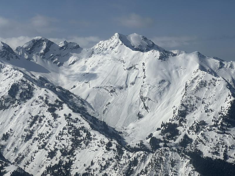
The final UAC report for the Upper Weber Canyon avalanche accident on March 9 has been published and is available HERE. The UAC would like to thank Park City Powder Cats for sharing information about the timeline of the accident and allowing UAC staff access to the avalanche after the incident.
Weather and Snow
Under mostly clear skies, the mountain temperatures have now been below freezing for the past 48 hours. Current mountain temperatures range from 15-21 °F with wind chills close to 0 °F. Winds are blowing from the west-northwest at speeds of 10-15 mph, gusting into the low 20s across most upper-elevation ridges. The free air (11,000') moves much faster and blows west-northwest at 35-40 mph.
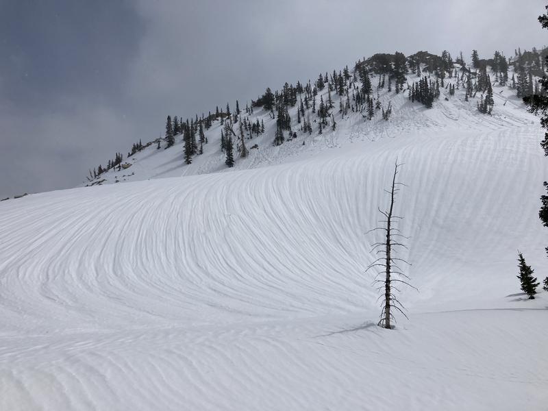
We will have plenty of sunshine today, with temperatures rising into the mid-30s to low 40s °F at roughly 8,000' in elevation. Winds will remain from the west-northwest and blow 10-15 mph. The best riding conditions will be on lower-angled sun-lit slopes that do not have roller balls or wet avalanche debris. If your slope angle is too steep, you won't have the smooth (see photo). Other slopes are frozen solid and will be teeth-chattering.
Photo: David Baird in Maybird, Gulch LCC.
Recent Avalanches
No new avalanches were reported from Friday. However, avalanches from the past week continue to come through the door. Find all the observations HERE.
Ad
Avalanche Problem #1
Wet Snow
Type
Location
Likelihood
Size
Description
Today we will welcome the sunshine to hopefully soften and improve the riding and turning conditions, as the snow surfaces are bulletproof this morning. However, remember that the Ogden Range has many aspects and elevations and if you find yourself on any slope where the sun has warmed the surface too much, and you're sinking into unconsolidated wet snow, it's time to leave or change aspects.
Avalanche Problem #2
Cornice
Type
Location
Likelihood
Size
Description
Massive cornices are draped and drooped on almost all mid and upper-elevation ridgelines and these cornices demand respect. When traveling on ridgelines give those cornices a very wide berth, as they will break back much further than you think. Also, avoid being underneath these cornices as they can break at any moment sending massive chunks of ice and snow your way.
Avalanche Problem #3
Gliding Snow
Type
Location
Likelihood
Size
Description
Glide avalanches are extremely dangerous and destructive as the entire season's snowpack avalanches to the ground. One full-depth glide avalanche on the Raymond Slabs in Porter Fork of Mill Creek released on Tuesday. Another glide avalanche was reported yesterday in Broads Fork that likely happened on Wednesday, April 12th (see photo). Can you see all the other glide cracks in the photo?
Avoid traveling in areas known for glide avalanches, such as Stairs Gulch, Broads Fork, Mill B South, Mineral Fork, Porter Fork, Chili Peak Slabs, the north side of Willard Peak, and others.
General Announcements
This information does not apply to developed ski areas or highways where avalanche control is normally done. This forecast is from the U.S.D.A. Forest Service, which is solely responsible for its content. This forecast describes general avalanche conditions and local variations always occur.