UDOT PLANNED AVALANCHE CLOSURES!!

Forecast for the Ogden Area Mountains

Mark Staples
Issued by Mark Staples for
Wednesday, March 30, 2022
There is a mix of conditions today depending on how and where the snowpack is refrozen. You'll easily know if the snow is refrozen by whether it is supportable as you walk on it. Overall the avalanche danger is MODERATE with wet avalanches being the main problem today. These may be wet loose avalanches or they may wet slab avalanches breaking on a buried layer of facets.
Low
Moderate
Considerable
High
Extreme
Learn how to read the forecast here
Special Announcements
Two generous UAC supporters are challenging the community to invest in the future of the UAC’s forecasting program during the 2022 Spring Campaign. They will match your donation, dollar for dollar, up to $10,000.
Weather and Snow
This morning, temperatures below 8000 ft are in the mid to upper 30s F. Above that elevation, temperatures are at or just under freezing. At ridgelines near 9000 feet, air temperatures range from 23 to 28 degrees F. Winds this morning are blowing from the north 4-11 mph with gusts of 20 mph. Yesterday's weather delivered rain and snow to the mountains near SLC while unfortunately, the mountains near Ogden did not get any new snow. The one exception on the southern end of the zone is Farmington Canyon which received 0.6 inches of water which translates to about 5 inches of snow at upper elevations.
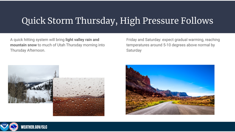
Today, skies will clear and clouds will return this evening. Temperatures today should warm into the 40s F and close to 30 deg F at the upper elevations. Winds will continue from the north but should be light. Tomorrow maybe an inch of two of snow should fall and winds will blow from the southwest and west.
Snow conditions: The snow is refrozen only at the upper elevations while it is likely wet and unsupportable in the mid and low elevations. Unsupportable means that if you step out of your skis or board or step off a snowmobile, you'll sink to your knees or waist.
Recent Avalanches
No avalanches have been reported from the Ogden area mountains recently, but I bet there have been some wet loose avalanches during the recent record heat.
Ad
Avalanche Problem #1
Wet Snow
Type
Location
Likelihood
Size
Description
Wet snow avalanches are the number one issue today as the snowpack remains wet and unfrozen. My main concerns are at the mid elevations where the snowpack has not refrozen. Low elevations have minimal snow which has been through a prolonged cycle of heat with liquid water moving through it. I suspect that the low elevation snow has developed drainage channels and can deal with liquid water without being unstable. Upper elevations should be refrozen this morning. The big question is how much upper elevation snow will warm today.
The main strategy today is to gain elevation (which won't be easy) and go to upper elevations above 8500 feet where the snow refroze overnight. As the upper elevation snow softens and warms today, the likelihood of wet avalanches will start going up.
Avalanche Problem #2
Persistent Weak Layer
Type
Location
Likelihood
Size
Description
What's going on with a buried persistent weak layer of facets buried 1-3 ft deep that formed during dry weather in Jan and Feb? I still wouldn't blindly trust that this layer has stabilized, and I would look for it today on northerly aspects and evaluate this layer. My suspicision is that it got wet, and it is now gaining strength as it refreezes at upper elevations. I have more questions about this layer at mid elevations where it likely remains wet and weak.
General Announcements
Who's up for some free avalanche training? Get a refresher, become better prepared for an upcoming avalanche class, or just boost your skills. Go to https://learn.kbyg.org/ and scroll down to Step 2 for a series of interactive online avalanche courses produced by the UAC.
This information does not apply to developed ski areas or highways where avalanche control is normally done. This forecast is from the U.S.D.A. Forest Service, which is solely responsible for its content. This forecast describes general avalanche conditions and local variations always occur.