Forecast for the Ogden Area Mountains

Eric Trenbeath
Issued by Eric Trenbeath for
Tuesday, March 19, 2019
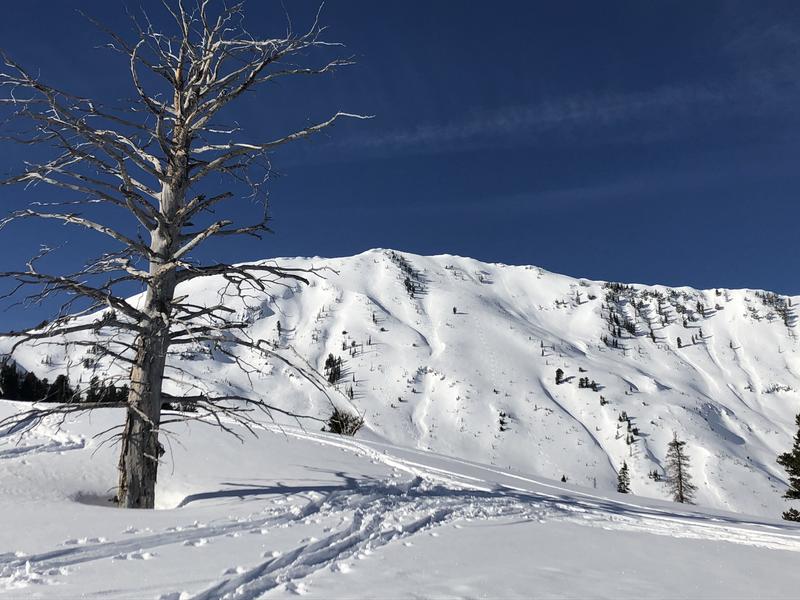
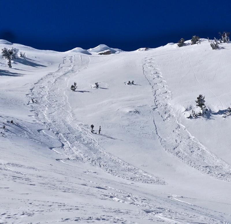
The avalanche danger is generally LOW and snow conditions are mostly stable. Low danger doesn't mean no danger and it is still important to maintain avalanche awareness. On very steep, upper elevation, northerly aspects, it is still possible to trigger small, loose, dry sluffs that could carry you over a cliff if you were caught unaware. And as the day heats up, minimize your exposure to loose, wet avalanches by avoiding steep slopes that are becoming wet and sloppy.
Low
Moderate
Considerable
High
Extreme
Learn how to read the forecast here
Special Announcements
The latest podcast is out! The Wise Ones - A Conversation About Mentorship with Eeva Latosuo and Aleph Johnston-Bloom. LINK
Weather and Snow
Skies are clear, SE winds are light, and upper elevation temps are in the mid 20's. Today will be a beautiful, sunny day in the mountains though we’ll see a slight increase in winds with a shift to more easterly by afternoon. 8000’ temps today will climb to near 40 degrees.
Kory Davis and I took a trip up to Ben Lomond Peak on Sunday and were surprisingly rewarded with loose, dry, recrystallized powder on a northerly aspect. We also observed supportable corn snow on south facing slopes. It looks like you may have today and tomorrow to enjoy similar conditions before a weak but active weather pattern shapes up later in the the week. Unfortunately for you folks, it looks like the bulk of the energy will be headed south to my neck of the woods.
It's going to be another beatuiful day up there with views like this.
Recent Avalanches
We observed only minor sluffing on Sunday, with some wet loose sluffs on steeper sunny aspects, and small dry sluffs on steeper northerly aspects at the upper elevations.
Dry, loose snow sluffs erased our tracks as we skied down. Kory described it as LNT (Leave No Trace) conditions.
Ad
Avalanche Problem #1
Normal Caution
Type
Location
Likelihood
Size
Description
Though the avalanche danger is generally low, there is always an inherent avalanche risk associated with backcountry mountain travel. Continue to practice safe travel techniques and carry appropriate rescue gear - beacon, probe, and shovel. Be mindful of terrain choices and be alert to potential problems. The most likely potential problems you could encounter are:
1) Loose wet avalanches: As the day heats up, avoid steep slopes that are becoming wet and sloppy. Stay out from under sun-baked, rocky, snow covered faces and avoid steep couloirs that can act as solar ovens. Start early, and end early when venturing into this type of terrain.
2) Loose dry avalanches: Be mindful of loose, dry avalanches on steep, upper elevation, northerly aspects, especially in areas of more radical terrain. Though mostly small, and relatively benign, you could be swept over a cliff or rock band if caught unaware.
Additional Information
Thinking about a trip to the Provo mountains or further south to the La Sals? It is a much different avalanche situation to our south with significantly more dangerous avalanche conditions. Be sure to check the forecasts for Provo (link) or the La Sals (link) as you plan your trip. The photo below is from the Provo mountains on Sunday where a wet slide buried the Squaw Peak road with 15' of debris.
General Announcements
This information does not apply to developed ski areas or highways where avalanche control is normally done. This forecast is from the U.S.D.A. Forest Service, which is solely responsible for its content. This forecast describes general avalanche conditions and local variations always occur.