Forecast for the Ogden Area Mountains

Greg Gagne
Issued by Greg Gagne for
Wednesday, March 13, 2024
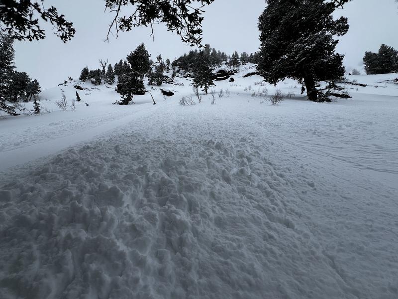
The avalanche danger is MODERATE at the mid and upper elevations where human-triggered avalanches involving long-running sluffs and soft slabs of new snow and wind-drifted snow up to a foot thick are possible. The avalanche danger is LOW at low elevations.

The new snow will quickly become more reactive today during any period of heavy snowfall or increase in winds.
Low
Moderate
Considerable
High
Extreme
Learn how to read the forecast here
Special Announcements
Support the UAC website rebuild by donating to our Spring Campaign. Save lives by making a donation today!
Weather and Snow
This Morning: A strong cold front came through last evening with a burst of heavy snowfall delivering 2" of new snow overnight and 24-hour totals of 4-8" (containing 0.75 - 1.0" water). Temperatures are in the 20's F and winds are from the northwest, with gusts overnight in the 30's mph along exposed ridgelines.
Today: 1-3"of new snow is expected. Winds will be from the northwest, with gusts in the 20's mph along exposed ridges and peaks at the mid and upper elevations with temperatures 25-35° F.

With fresh snow and moderate winds, travel and riding conditions should be excellent today! (But get it while you can as winds will shift and be from the the north and northeast overnight with strong winds forecast for Thursday.)
Recent Avalanches
We received no reports from the backcountry, but snow safety teams reported shallow but sensitive soft slabs and sluffs in the storm snow on Tuesday.
Ad
Avalanche Problem #1
New Snow
Type
Location
Likelihood
Size
Description
You may find pockets of fresh wind drifts at the upper elevations with a sustained period of winds from the west/northwest. These drifts are likely to be shallow (< 1') and not very wide, but they could run fast and far where they formed on top of slick sun and temperatures crusts.
Avalanche Problem #2
New Snow
Type
Location
Likelihood
Size
Description
Instabilities within the storm snow should settle out today and I'm only expecting sluffing within the storm snow on steep slopes, although you encounter sensitive soft slabs of new snow in areas that received the most snow.
This recent photo shows sluffing within storm snow in terrain adjacent to Ben Lomond.
General Announcements
This information does not apply to developed ski areas or highways where avalanche control is normally done. This forecast is from the U.S.D.A. Forest Service, which is solely responsible for its content. This forecast describes general avalanche conditions and local variations always occur.