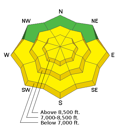
Forecast for the Ogden Area Mountains

Drew Hardesty
Issued by Drew Hardesty for
Friday, February 8, 2019
The avalanche danger is along the higher end of MODERATE. Human triggered wind slab avalanches are possible on many slopes at the mid and upper elevations. Safe travel protocol is paramount. Avoid being on or beneath the large corniced ridges. Wet avalanches may be possible with direct sun and daytime warming on the steepest sunlit terrain.
Low
Moderate
Considerable
High
Extreme
Learn how to read the forecast here
Special Announcements
A SAR is currently in progress for a buried snowmobiler in Beaver County near Circleville Mountain of the Tushars. The buried man was not wearing an avalanche transceiver. This is outside of our avalanche forecast area but we will have more information and a preliminary accident report by this evening.
Weather and Snow
Skies are partly cloudy with temperatures already 15°F warmer than they were yesterday morning. Warming aloft (now low single digits and low teens) and backing winds to the southwest (now 15-20mph off the ridgelines and 30-40 gusting 35-45 along the skyline) signal another storm on the horizon. Let me amend that. Many storms on the horizon. For today, we'll have mostly clear skies with some high clouds moving in overhead. Temps will rise to the low teens up high, the low 20s down low. Winds will continue to increase from the southwest as the day wears on with hourly averages pushing to 25-30mph by early eve.
Snow depths are 75-85" with up to 5' at the trailheads. Skiing and riding conditions are noted to be excellent with minimal wind effect. There will be more wind damage today.
Recent Avalanches
Ski area control work produced a few shallow wind and storm slabs.
Ad
Avalanche Problem #1
Wind Drifted Snow
Type
Location
Likelihood
Size
Description
Wind loading from a new direction will present the backcountry traveler with scattered drifts on nearly all aspects at the mid and particularly upper elevations. The new drifts will be sensitive and based upon weak layer crystal type - may be triggered from a distance. These are soft slabs up to 12-18" deep and tend to respond well to ski cuts and cornice drops when they are predictable and obvious. If they can still be triggered remotely (at a distance), all bets are off. Approach steep wind drifted terrain with caution.
Avalanche Problem #3
Cornice
Type
Location
Likelihood
Size
Description
Corniced ridgelines should be avoided. Any cornice drop may trigger a subsequent avalanche below. Also avoid being underneath these yawning whales.
General Announcements
This information does not apply to developed ski areas or highways where avalanche control is normally done. This forecast is from the U.S.D.A. Forest Service, which is solely responsible for its content. This forecast describes general avalanche conditions and local variations always occur.