6 am: Skies are clear and winds are from the west and generally light, gusting into the teens along some mid-elevation ridges and into the 20s mph at the uppermost elevations of the Ogden Skyline. Temperatures range through the 20s F.
Today: Clear skies with a few high, thin clouds occasionally streaming by. Temperatures will rise into the 30s F and the west/northwest winds will slowly decrease, with gusts into the 20s mph along exposed peaks and ridges at the upper elevations.
Extended Forecast: Unpromising. High pressure dominates our weather into the coming week with a few clouds possible by midweek. The most optimistic outlook for snowfall is after December 25.
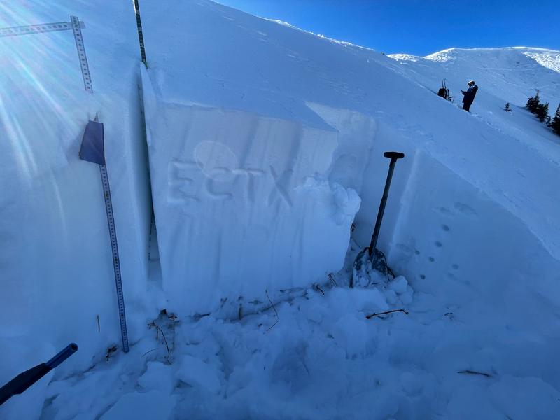
The current weather may make it seem nothing is going on with the snowpack, but clear skies combined with cold temperatures conspire to weaken the snow at the surface and the entire snowpack in areas with shallower snow.
Trent explains more in this video. For now, this is not a problem and the weakening of the snow surface is helping keep the snow soft, but it will become a problem once it snows or there is wind drifting.
The most recent avalanche activity reported from the Ogden mountains was the natural avalanche cycle from early December.


