As of 6 am, temperatures are in the teens and winds from are the southwest, with gusts in the 20's mph along exposed upper elevation ridgelines . A trace to 2" of snow has fallen in the southern end of the range.
For today, temperatures will rise into the upper 20's and low 30's F and winds will be from the southwest, gusting in the 20's mph along upper elevation ridgelines and summits. 1-3" of snow is expected by sunset.
For this weekend, a short break overnight and into Saturday, with snow beginning late Saturday afternoon and lasting into Sunday. This storm will come in right-side up, beginning with warm, denser/heavier snow and ending with cold, lower-density snow. This could be a decent - and much-needed! - snow producer, with well over a foot of snow and an inch of water. Ben Lomond may do particularly well with this storm. A weak system is expected around Tuesday, with a few inches of snow possible.
No avalanches were reported from the backcountry.
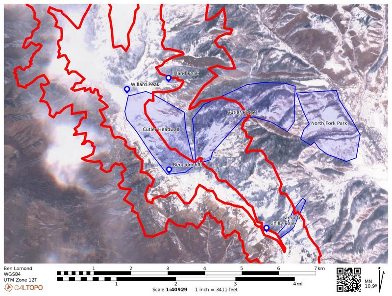
Derek DeBruin has provided an amazing report with satellite photos showing the current snowpack coverage. The photo below is just one of several that Derek has produced, and I encourage you to read
Derek's full report - knowing where the snow currently is will be crucial to your planning in the coming days and weeks.


