Forecast for the Ogden Area Mountains

Trent Meisenheimer
Issued by Trent Meisenheimer for
Sunday, November 25, 2018
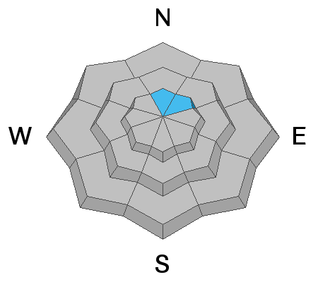
The avalanche danger is MODERATE on all slopes at the mid and upper elevations for wind drifted snow. Keep an eye out for recent drifts of blown snow. Human triggered avalanches are possible in steep wind loaded terrain. There is also a MODERATE danger for triggering a slab avalanche in the highest northerly facing terrain, where some old snow may exist.
Low
Moderate
Considerable
High
Extreme
Learn how to read the forecast here
Weather and Snow
For today we should see party cloudy skies and cold temperatures. Winds have backed off considerably and are currently blowing 5-10 mph across the highest terrain. Temperatures have plummeted into the teens at upper elevations and are in the low twenties at 7500' feet. The Thanksgiving storm was just what we needed and storm totals are as follows:
Ogden area 20-24" of snow (1.50-2.93" H20)
Upper LCC: 20-24" of snow (1.50"-2.05" H20)
Upper BCC 25-30" of snow (1.50"-3.21" H20)
Provo area 17.5-24" of snow (2.7"-3.23"H20)
Park City 16-20" of snow (1.50"-2.0" H20)
Recent Avalanches
No recent backcountry observations were reported for the Ogden area mountains. Snow safety teams reported that upper elevation wind loaded terrain had the biggest chance for triggering an avalanche.
Ad
Avalanche Problem #1
Wind Drifted Snow
Type
Location
Likelihood
Size
Description
Yesterday the winds were blowing 30-40 mph gusting into the 50's on Ogden peak for much of the day. Wind along with 20-24" of new snow has created many drifts of wind blown snow scattered across the terrain. The good news: wind drifts are easy to spot by their rounded appearance and they tend to stabilize quickly and by tomorrow they shouldn't be a problem. The bad news: is that with such strong winds you can expect cross loading at all mid and upper elevations and drifts that have formed in odd places as well, like gullies and mid slope break overs. Avoid being on any steep slopes that's been loaded by the wind.
Avalanche Problem #2
Persistent Weak Layer
Type
Location
Likelihood
Size
Description
Most of the Ogden area mountains were snow free before the Thanksgiving storm. This means that many slopes do not have old, faceted snow. However, we have had reports of patchy old snow in the highest northerly facing terrain. I would approach any upper elevation north and northeast facing terrain with caution and for now assume there is old faceted snow that could produce a slab avalanche there. The good news is this is very isolated to steep rocky terrain and there is plenty of other slopes that do not have this problem.
Additional Information
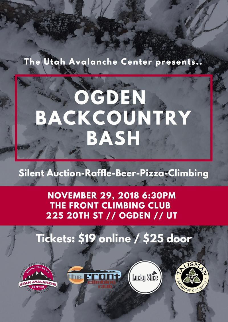
Join the UAC for the 2nd Annual Ogden Backcountry Bash at The Front Climbing Gym in Ogden.
Beer, pizza, silent auction, prizes, and climbing!
November 29
6:30 PM - 9:30 PM
The Front Climbing Club, 225 20th street, Ogden UT 84401