Upcoming Events:
Saturday, December 5: Join us for the 19th Annual USAW, where Utah’s avalanche community will team up with snow professionals around the West to share avalanche knowledge. Regional avalanche workshops are the most time and cost-effective way to build and refresh advanced avalanche skills. This is your chance to learn from avalanche experts and brush up on your skills before the start of the season. Tickets and information here.
Monday, December 7 6 PM: Know Before You Go. Eric and Dave will give a free avalanche awareness talk at the MARC in Moab. This is a great introduction to snowpack, weather, and avalanches for first-timers or anyone who wants a quick skills refresh.
Saturday, December 12 6-9:30 PM: UAC Moab Winter Kickoff Party at the MARC in Moab. The event will include ski waxing, live music, beer from the Moab Brewery, pizza from Zax, and a chance to win some great prizes in our opportunity drawing.
Saturday, February 6-7: Backcountry 101 Moab: An introduction to avalanches. Spend time in the classroom and on snow with Eric and Dave. Click here for more information and to register.
Weather: While an active storm track affects the Pacific Northwest and Whistler, BC, the four corners region remains under a strong ridge of high pressure. Dry conditions and above-normal temperatures will persist. For now, it's a warm and dry waiting game. Our next chance for snow arrives on November 17th.
General Conditions:
It's been a wild month of warm weather and lots and lots of water! All told, October produced over 12 inches of liquid in the mountains, with snow totals varying widely due to a fluctuating rain/snow line that at times was higher than 11,000 feet. Before the last storm system, all south-facing slopes had melted out, and only a few inches of snow remained on the ground on northerly aspects at 10,000 feet. Above treeline, snow depths were generally around a foot with deeper drifts in wind-favored areas. By the morning of November 2, temperatures had dropped, and the base depth at Gold Basin crept up to 11 inches. Depths above 11,000 feet now range from 2-3 feet.
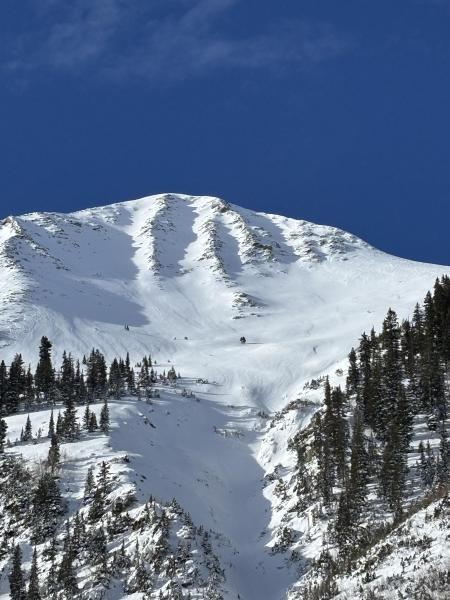
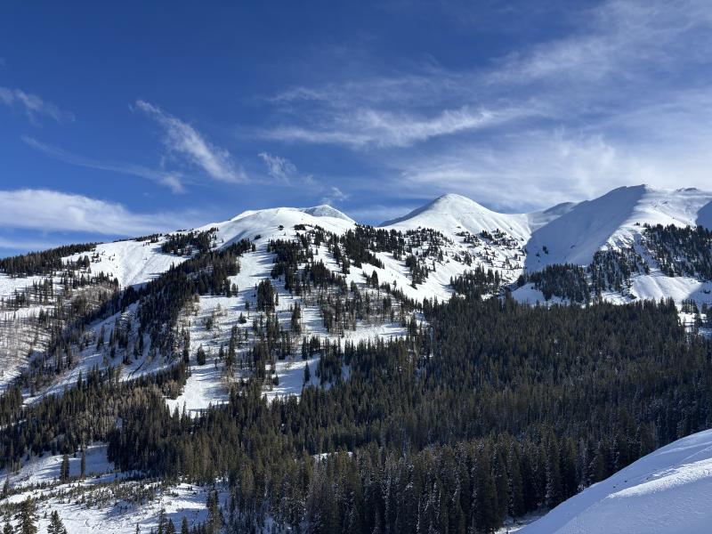
Ryan Huels was up in the mountains and snapped these two photos on 11/6.
NWS La Sal Forecast
Gold Basin Weather Station (10,000')
Gold Basin SNOTEL (10,000')
Pre-Laurel Peak Weather Station (11,705')
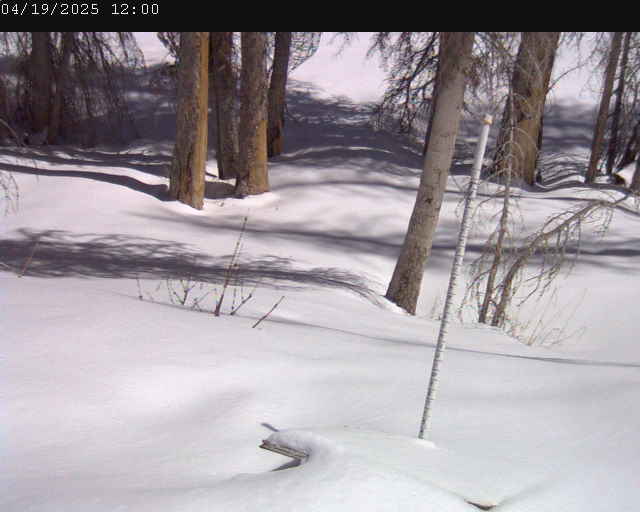
Gold Basin Web Cam (10,000')