Forecast for the Moab Area Mountains

Eric Trenbeath
Issued by Eric Trenbeath for
Sunday, April 14, 2024
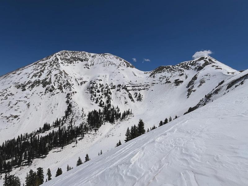
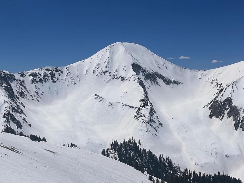
It's been two nights without a refreeze and the danger is MODERATE for wet avalanche activity. This includes loose, wet, surface snow as well as wet slab avalanches. Signs of instability include rollerballs, pinwheels, and sloppy wet snow. Stay off of and out from under steep slopes when these signs are present. Expect the danger to increase throughout the day.
There are a few large cornices out there. Give them a wide berth and stay out from under them.
Slick, hard surfaces can be found at upper elevations and slide for life conditions exist. Consider carrying a tool for self arrest.
Low
Moderate
Considerable
High
Extreme
Learn how to read the forecast here
Special Announcements
Today will be the last of our regularly scheduled daily forecasts.
Road Conditions: The Geyser Pass road is melted out down to the dirt.
Grooming: Grooming is done for the season.
Announcement: Gear up for next season or snag deals to close out this season while supporting the UAC’s efforts. Your participation directly funds the state's avalanche forecasting, awareness, and education programs. Check out the auction found here!
Weather and Snow
6:00 a.m. Snow and Weather Data
24 Hour Snow 0" 72 Hour Snow 0" Season Total Snow 192" Depth at Gold Basin 53"
Winds on Pre-Laurel Peak: SSE 30-35 G 42 Temp 40° F Percent of Normal: 108%

Weather
It's a balmy 40° at 10,000' and southerly winds are cranking. Look for sunny skies, continued windy conditions, and high temps in the upper 40's. Clouds should start to stream in tonight and temperatures finally drop ahead of storm moving into the region. Monday will be cloudy with afternoon snow showers. 2"- 4" are possible.
General Conditions
We've now had two nights in a row without a freeze. Punchy, unsupportable conditions this morning will quickly become wet and sloppy and it's not a good day to doddle in the mountains. You need to get in and out early if you plan to be up there today. I wish I could say we were set up for a great spring season but in my travels on Friday, I was dismayed at how quickly things had turned. It felt more like mid-May out there than April. The snow surface is dirty, wind affected, and is disappearing fast on some south facing slopes. Maybe the Monday storm will freshen things up a bit.
Overall, conditions are deteriorating with lots of dirty, textured snow and rapidly developing thin spots.
Conditions on Mount Tukuhnikivatz or Tuk (pronounced touque). Many folks this time of year set their sites on this iconic mountain. If you are set on going up, be prepared for challenging conditions including firm snow, breakable crusts, and sloppy, wet snow as days heat up. Ski crampons will be helpful on the skin up, and carrying a tool for self arrest is recommended.
Mount Tukuhnikivatz on April 12.
Snowpack and Weather Data
Gold Basin Storm Stake (10,000')
Gold Basin SNOTEL site (10,000')
SNOTEL site near Geyser Pass Winter Trailhead (9600')
Wind Station on Pre-Laurel Peak (11,400')
NWS forecast for the La Sal Mountains.
Recent Avalanches
Click here to see the La Sal avalanche database.
Ad
Avalanche Problem #1
Wet Snow
Type
Location
Likelihood
Size
Description
With above freezing temps for two solid days the danger for wet avalanches has intensified, and it will only increase with daytime heating. The danger applies to both loose, wet, surface snow, and deeper, more dangerous wet slab avalanches. Wet slabs are very tricky to predict, but areas of rocky, radical terrain, or shallow snowpack areas that still have weak faceted snow underneath are the most suspect. If you find yourself punching through into sloppy wet snow, or if you notice signs of instability such as roller balls, pinwheels, or especially loose snow moving, it's time to wrap it up.
Additional Information
Want some more insight into the La Sal Mountains as well as the communal impacts of a tragic avalanche? Check out the latest UAC podcast with forecaster Eric Trenbeath where he discusses the range, it's often treacherous snowpack, and how the devastating avalanche in February, 1992, affected the Moab community.
Our avalanche beacon checker sign and beacon training park are up and running. A huge thanks to Talking Mountain Yurts for sponsoring those this season!
Sign up for forecast region-specific text message alerts. You will receive messages about changing avalanche conditions, watches, warnings and road plowing closures.
Follow us on Instagram @utavy_moab
General Announcements
This forecast is from the U.S.D.A. Forest Service, which is solely responsible for its content. This forecast describes general avalanche conditions and local variations always occur.