We're through issuing regular forecasts for the season but will update through the month with a general conditions report as significant weather conditions dictate. I would like to give a huge shout out to all who supported operations this season. This includes everyone who regularly used the forecast to stay safe; our local business sponsors Moab Gear Trader, Talking Mountain Yurts, and ROAM Industry; Black Diamond Equipment, Outdoor Research, Voile, and Arva for setting us up with the gear we need to do our job; the Manti-La Sal National Forest for their tremendous support of this program; and last but not least, our great local community and crew of dedicated observers who provide vital information and assistance throughout the season. Thanks everyone, see you next winter!
Overnight freezes and daytime high temps mean everything right now. Get current and past 24-hour readings from these real-time weather links.
Snowpack Discussion
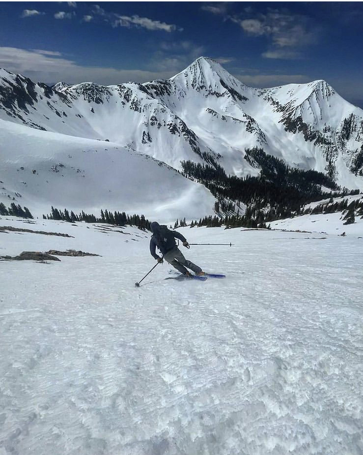
As of April 12, successive nights with below-freezing temps have helped to lock up the snowpack and we've moved into a decent corn cycle on SE-W aspects. South facing lines are melting out fast, however. The extreme heat last weekend lumped up the surface a bit and it's not as smooth as it was but decent corn skiing can still be found. Look for things to soften between 10:00 and 1:00 depending on the aspect. Once the crust becomes unsupportable and the snow starts to get sloppy, it's time to call it a day as the danger for loose wet, or even wet slab avalanches will start to develop.
North aspects remain in transition and conditions are variable ranging from hard, wind-packed, and frozen boilerplate, to crusted over with occasional pockets of dry powder-like snow. Weak, sugary, faceted snow still exists near the ground, especially at higher elevations and it may still be possible to trigger an avalanche on this weak layer. Slopes with steep convexities and rocky, more radical terrain are where you are most likely to trigger an avalanche failing on this weak, faceted snow.


