Forecast for the Moab Area Mountains

Eric Trenbeath
Issued by Eric Trenbeath for
Thursday, April 11, 2019
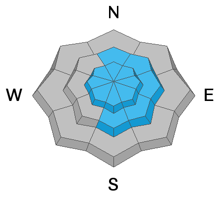
2' or more of new snow accompanied by strong NW winds have created dangerous avalanche conditions. The avalanche danger is CONSIDERABLE and human triggered avalanches are likely on steep, wind drifted slopes. Human triggered avalanches involving the new snow are also possible on steep slopes on all aspects. Cracking in the snow surface is a sign of instability. Evaluate terrain carefully and avoid steep slopes with recent deposits of wind drifted snow.
Low
Moderate
Considerable
High
Extreme
Learn how to read the forecast here
Special Announcements
Grand County will be plowing the road this morning. The gate will be closed while plowing is in progress.
Next Sunday, April 14 will be the last regular advisory for the season. I will post updates as conditions warrant through the rest of the month. As we wind down I want to thank our local supporters including Moab Gear Trader, Talking Mountain Yurts, and ROAM Industry, for helping make this a great season!
Thank you to everyone who supported our spring fundraiser. We reached and exceeded our goals. The UAC could not exist without your support.
Weather and Snow
Wow! Just wow! About 24" of snow has fallen in Gold Basin since yesterday morning with 18" at the Geyser Pass Trailhead. This is truly turning into the winter of all winters at 160% of normal snowpack and more than 100" on the ground in Gold Basin. The bad news is NW winds. They blew in the 25-35 mph range with gusts to 50 for much of the day yesterday before backing off around midnight into the 20's with gusts in the 30's. They'll shift to more westerly today and continue in the moderate to strong range. We may see some lingering snow showers with little to no accumulation, and daytime highs will be in the upper 20's. Unsettled weather will continue through Friday with things drying out over the weekend. A return to a stormy pattern looks likely for mid next week.
New snow totals in Gold Basin (10,000')
Snotel totals at the Geyser Pass Trailhead (9600')
Winds at 11,000 feet on Abajo Peak (11,330') about 45 miles south.
National Weather Service point forecast.
Ad
Avalanche Problem #1
Wind Drifted Snow
Type
Location
Likelihood
Size
Description
Avalanches involving wind drifted snow will be your primary concern today. Though most widespread at upper elevations, drifts up to 3' deep will also be found at mid elevations, well below ridge crests and cross-loaded around terrain features. Avoid steep, wind drifted slopes that are recognizable by their smooth, rounded appearance. Cracking in the snow surface is a sign of instability.
Avalanche Problem #2
New Snow
Type
Location
Likelihood
Size
Description
Today, human triggered avalanches involving the new snow remain possible if not likely on all slopes steeper than about 35 degrees. Evaluate how the new snow is behaving and look for signs of instability such as cracking in the snow surface. The peak of instability occurred sometime last night, but 24" is a lot of new snow and it seems best to let it settle out for another day before jumping into steep terrain.
General Announcements
Your information can save lives. If you see anything we should know about, please help us out by submitting snow and avalanche observations HERE. You can also call me at 801-647-8896, or send me an email: [email protected].
Support the UAC through your daily shopping. When you shop at Smith's, or online at REI, Backcountry.com, Patagonia, NRS, Amazon, eBay by clicking on these links, they donate a portion of your purchase to the UAC. If you sell on eBay, you can have your See our Affiliate Page for more details on how you can support the UAC when you shop
This forecast is from the U.S.D.A. Forest Service, which is solely responsible for its content. This forecast describes general avalanche conditions and local variations always occur.