Forecast for the Logan Area Mountains

Issued by Toby Weed on
Sunday morning, January 4, 2026
Sunday morning, January 4, 2026
MODERATE: People should evaluate the snow and terrain carefully, especially in drifted upper elevation terrain where avalanches of recently wind-drifted snow and dangerous hard slab avalanches failing on a buried persistent weak layer near the ground are possible on slopes steeper than 30 degrees.
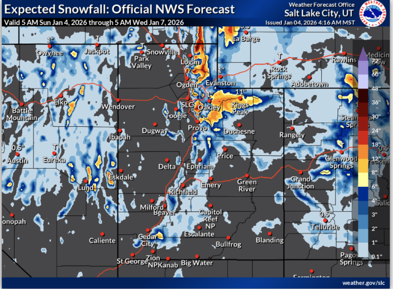
- A winter storm with heavy snowfall and drifting snow will elevate the backcountry avalanche danger this afternoon, tonight, and tomorrow.

Low
Moderate
Considerable
High
Extreme
Learn how to read the forecast here