Forecast for the Logan Area Mountains

Toby Weed
Issued by Toby Weed for
Sunday, April 9, 2023
Dangerous avalanche conditions are found at all elevations on backcountry slopes steeper than 30°. Warm temperatures and intense sun will elevate the avalanche danger to HIGH. Large cornice falls and natural wet avalanches will certainly occur in sunny terrain and on steep slopes at all elevations.

*Wet avalanches on steep slopes at very low elevations and in the foothills may threaten unsuspecting people, children, or pets.
Low
Moderate
Considerable
High
Extreme
Learn how to read the forecast here
Avalanche Warning
In effect from 7 am MST this morning to 6 am MST Monday
Where: For the mountains and foothills of Northern Utah, including the Wasatch Range...Bear River Range...Wellsville Range...Oquirrh Mountains...Stansbury Range...Cache Valley...Ogden Valley
Impacts: Warm temperatures and the intense sun will create widespread areas of unstable wet snow. Natural and human-triggered cornice falls and wet avalanches are certain. People should avoid being in avalanche terrain (off of and out from under slopes steeper than 30°) and stay clear of avalanche runouts on all aspects and elevations.
Special Announcements
We've released the accident report for the 3-27-23 Pole Canyon avalanche. It's HERE
Weather and Snow
Solar warming will moisten the snow surface, quickly soften any crusts from overnight and elevate the danger of wet avalanches. Seasonal warmth will also warm up and soften the snow on shady north facing slopes down low, where there is a ton of snow this spring. Daytime temperatures will continue to rise in the mountains in the next couple days, and it looks like it may stay above or near freezing at night

The 8400' Tony Grove Snotel reports 32° F and 148" of total snow. At the 9700' CSI Logan Peak weather station, it's 29° F and the wind is blowing from the west 18 mph.

Here is the NWS point forecast (36 hrs) for Logan Canyon:
Today: Sunny, with a high near 59. East wind 5 to 7 mph becoming west in the afternoon.
Tonight: Partly cloudy, with a low around 33. East southeast wind around 7 mph.
Monday:Mostly sunny, with a high near 68. East wind 6 to 9 mph becoming south in the afternoon.

Looks like cooler conditions and some clouds around midweek.
Recent Avalanches
  • Widespread natural wet avalanches occurred yesterday afternoon and evening in the Logan Zone. Most of the avalanches are of the wet loose variety, but there have also been large natural cornice falls and these and overrunning loose avalanches have triggered a few wet slabs in the past few days.
  • A natural avalanche crossed the inside lane of Highway 89 at the Dugway in Logan Canyon at 6:30 Saturday evening, after most down canyon traffic had already passed.
  • A skier triggered a wet loose avalanche in the foothills above North Logan yesterday afternoon.
  • A close call occurred on Tuesday in Hillyard Canyon, Cub River Idaho, when a rider triggered a soft slab avalanche, deployed airbag, and was caught and carried face down around 100'. Party had to probe for the sled which was found completely buried about 5' deep. report is HERE
  • For a list of recent avalanches in the Logan Zone go HERE
  • There was lots of natural avalanche activity in the mountains of Northern Utah this week. Find a list of all recent observations & avalanches from across Utah HERE.
Ad
Avalanche Problem #1
Cornice
Type
Location
Likelihood
Size
Description
The heat is causing dangerous conditions up high, especially in windy terrain, with huge deceptive cornices, and thick, previously formed wind slabs. Large cornice falls and 2' to 4' thick wet slabs are possible in windy terrain, especially at upper elevations. Warming temperatures will increase the likelihood of natural cornice failures, and some will certainly calve off large pieces
  • Avoid corniced slopes and stiffer drifts on steep slopes near ridges and in and around terrain features like cliff bands, sub-ridges, mid-slope break-overs, and gully walls.
  • Evidence of instability could include cracking or collapsing, and some avalanches still might be triggered remotely or from a distance.
  • People should stay well away from and off of slopes under the HUGE overhanging cornices, which are found on the major peaks and ridges.
Avalanche Problem #2
Wet Snow
Type
Location
Likelihood
Size
Description
  • High angle April sun and seasonal warmth will quickly moisten the snow this morning and rapidly increase potential for wet avalanches.
  • Dangerous wet avalanche conditions have developed at low elevations, especially on shady forested slopes and in steep northerly facing terrain.
  • Expect warm temperatures and intense sun to elevate the danger of wet avalanches significantly at all elevations.
Additional Information
A recent large natural avalanche triggered by a cornice fall in the Wellsvilles. Gibson drainage off Mendon Peak 4-8-23
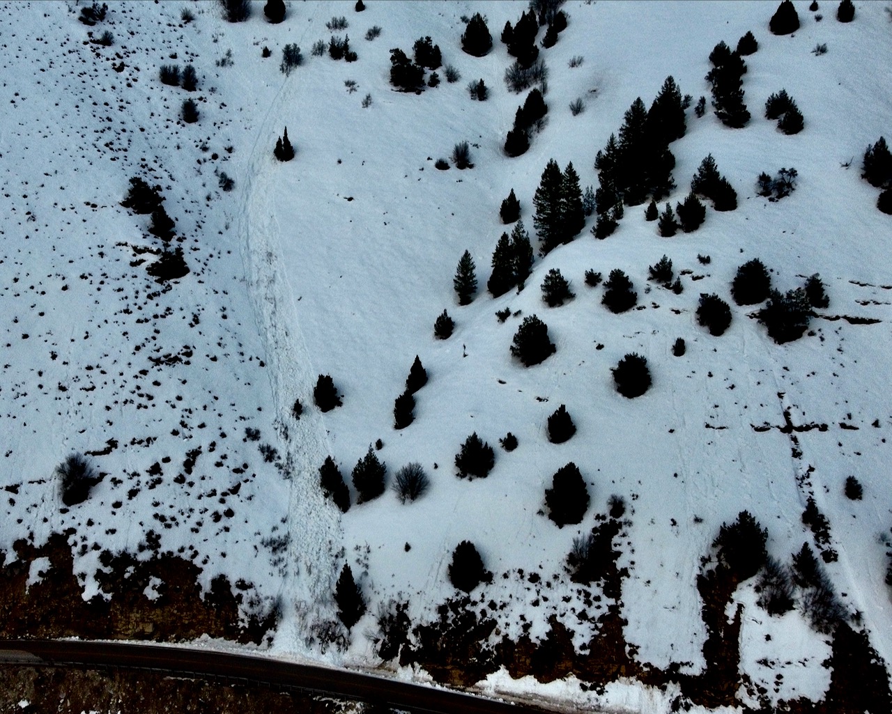
A small natural wet loose avalanche hit Hwy 89 in Logan Canyon at the Dugway at 6:30 Saturday evening...
General Announcements
  • Please submit your observations from the backcountry HERE.
  • For a list of avalanche classes from the Utah Avalanche Center go HERE
  • For information on where you can ride your sled or snow-bike, check out this map of the winter travel plan for the Logan and Ogden Ranger Districts HERE, and a close up of the Tony Grove and Franklin Basin Areas HERE.
This forecast is from the U.S.D.A. Forest Service, which is solely responsible for its content. This forecast describes general avalanche conditions and local variations always occur.