Forecast for the Logan Area Mountains

Issued by Toby Weed on
Monday morning, April 8, 2013
Monday morning, April 8, 2013
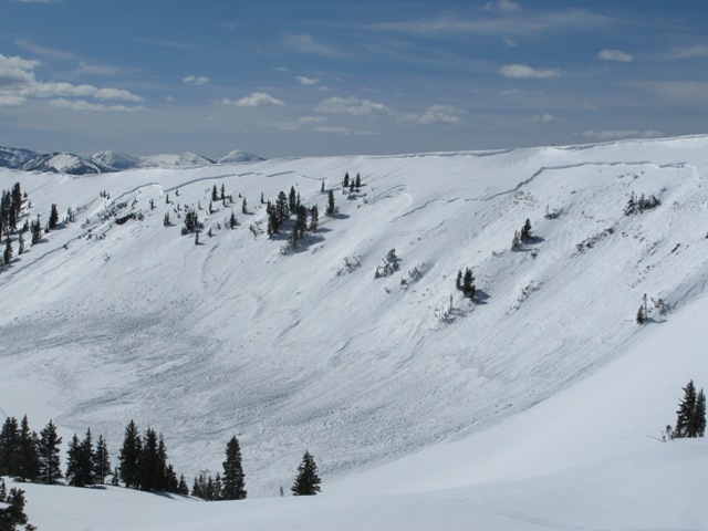
Additional new snow and intensifying east and northeast winds will cause an increasing danger today. Heightened avalanche conditions already exist in the backcountry, and there is a MODERATE (level 2) danger of wind slab avalanches in drifted terrain, storm snow avalanches at upper and mid elevations, and wet avalanches in areas with weak saturated snow. Dangerous wind slab avalanche conditions and a CONSIDERABLE (level 3) danger could develop during the day today, with triggered 1 to 2+-foot-deep wind slabs and/or cornice falls becoming likely and an overnight natural cycle possible in drifted upper elevation terrain. Evaluate the snow and terrain carefully, avoid steep drifted terrain, and continue to follow safe travel protocols....
Low
Moderate
Considerable
High
Extreme
Learn how to read the forecast here