Temperatures dropped below freezing again overnight at most mountain stations, and the cold has set up and refrozen the saturated snow. Wet avalanches are unlikely this morning and the refrozen snow is generally stable. You'll need to put the scrapers down, and the snow is so hard and slick on some slopes that it may be difficult to self arrest a fall if you start sliding.
In the spring it's a good idea to get in the habit of getting out early, so you can finish up early and avoid being in avalanche terrain late in the day when the snow is softened by warmth and more prone to avalanching. This is the case today, the snow on sunny slopes and at lower elevations is likely to become too soft in the afternoon.
The 8400' Tony Grove Snotel reports 30° F
and 126" of total snow. It's 29° F and the wind is blowing 23 mph from the southwest this morning at the 9700' CSI Logan Peak weather station
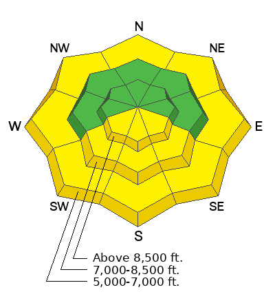
Here is the NWS point forecast (36 hrs) for Upper Elevations in the Central Bear River Range:
Today: Sunny, with a high near 47. South wind 8 to 13 mph increasing to 15 to 20 mph in the afternoon.
Tonight: Partly cloudy, with a low around 30. South southwest wind 13 to 18 mph.
Monday: Partly sunny, with a high near 47. Southwest wind 7 to 12 mph increasing to 13 to 18 mph in the afternoon.
Snow showers are likely on Tuesday, with 3 to 7 inches of accumulation possible at upper elevations. Cooler temperatures and clouds will prevail through the remainder of the work week.
It is a pleasure to report no new avalanches in the past few days.... For a list of last week's avalanches in the Logan Zone go
HERE.
Find a list of all recent observations & avalanches from across Utah go
HERE.


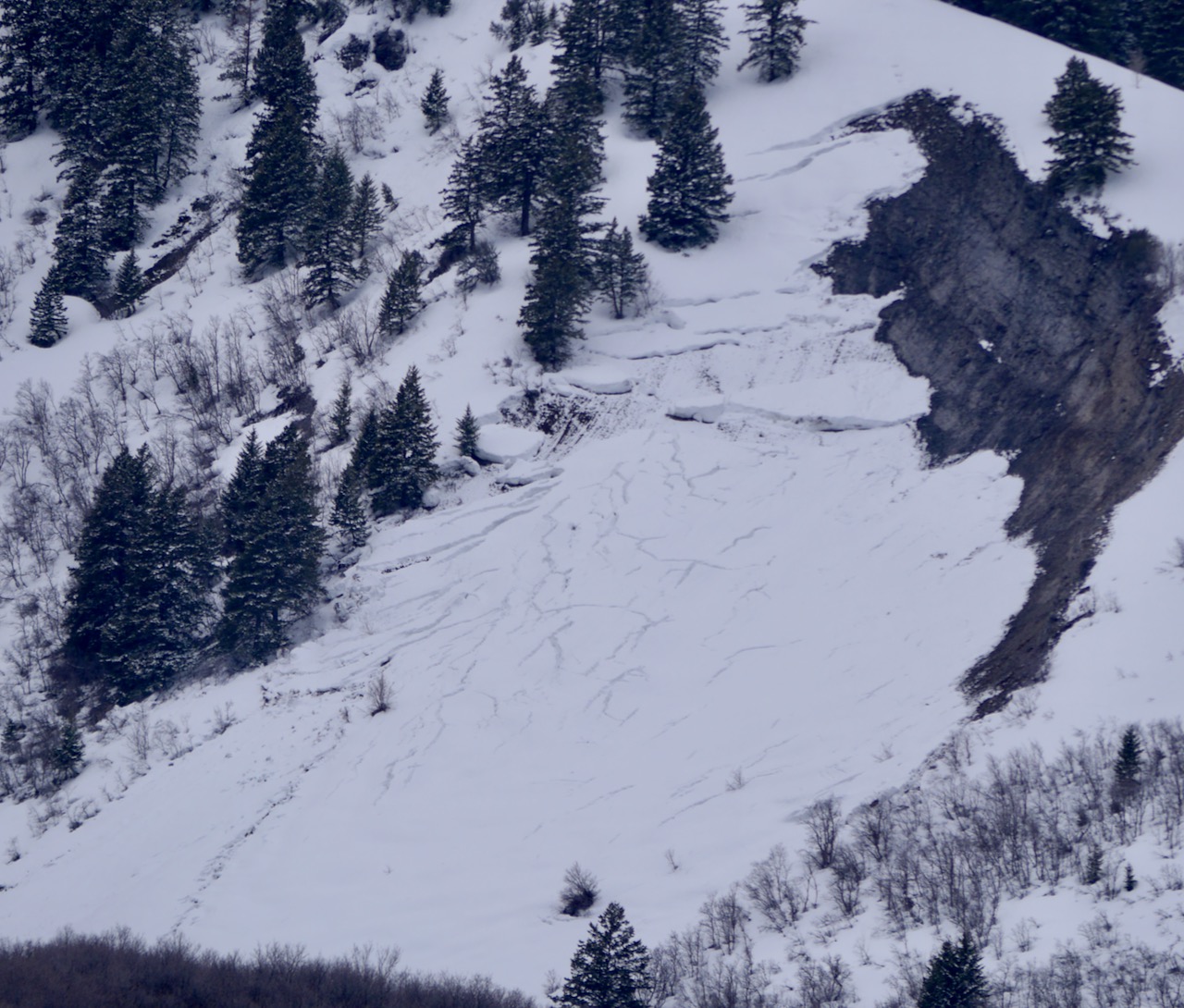 Natural glide avalanche activity is apparent on the Red Slide at 6000' on east racing rock slabs in the Wellsville Mountain Wilderness above Mendon. 4-14-23


