UDOT PLANNED AVALANCHE CLOSURES!!

Forecast for the Logan Area Mountains

Paige Pagnucco
Issued by Paige Pagnucco for
Monday, April 11, 2022
The avalanche danger is LOW this morning but could rise to MODERATE with today's incoming snow and strong winds.
Avoid steep slopes and other terrain features with freshly wind-drifted snow.
You'll find improved and safe riding conditions on slopes less than 30 degrees.
Low
Moderate
Considerable
High
Extreme
Learn how to read the forecast here
Special Announcements
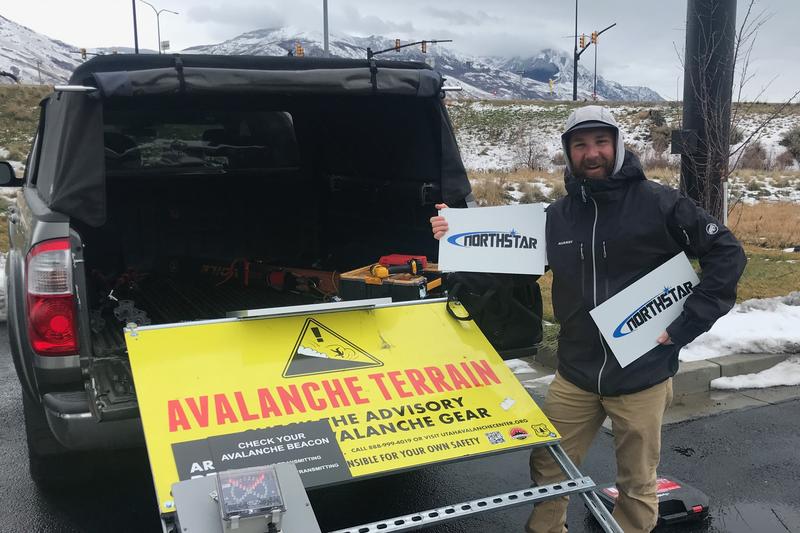
We took down the Franklin Basin Beacon Park and all the trailhead beacon checker signs on Friday. The park and signs are generously sponsored by Northstar - we really appreciate their continued support! Big thanks to Andy Checketts and Bill Chambers!
Weather and Snow
The 8400' Tony Grove Snotel reports 24°F this morning, and there is 52 inches of total snow at the site, containing 64% of normal SWE. South southwest winds are currently blowing around 22 mph at the 9700' CSI Logan Peak weather station with gusts in the 30's.
The surface snow is pretty scratchy right now with a hard, refrozen surface to ride on. The incoming storm will improve riding conditions but will also increase the avalanche danger.
Today we'll see snow showers picking up in the afternoon with 5-11" possible by tonight. Temperatures around 8500' will be near 33F. Southwest winds will blow 18 to 25 mph, with gusts as high as 38 mph.
A Winter Storm Warning is in effect for the Logan area mountains from this afternoon through early Wednesday morning with heavy snow and strong winds expected. One to two feet of snow is expected to fall by Wednesday.
Recent Avalanches
No new avalanches were reported over the weekend.

Check out all the recent backcountry observations and avalanche reports from across Utah HERE.
Ad
Avalanche Problem #1
Wind Drifted Snow
Type
Location
Likelihood
Size
Description
It will start to snow and blow this afternoon and the risk of triggering an avalanche will increase, especially in high elevation terrain. Strong winds and heavy snowfall are two red flags for avalanche danger and we've got both today.
As the storm intensifies this afternoon, you'll want to avoid steep slopes with freshly wind-drifted snow as well as areas like sub-ridges, scoops, and other terrain features where sensitive drifts of snow can form. Watch for cracking in the new snow - a sure sign of instability.
Sticking to sheltered slopes less than 30 degrees will be your best bet for safe travel and good riding conditions.
Additional Information
  • Now is a great time to practice your avalanche rescue skills. Thanks to the generous support of Northstar, the Franklin Basin Beacon Training Park is up and running. The park is located directly west of the parking lot and is open for anyone to use. All you need is your beacon and probe. Please do not dig up the transmitters.
  • Always follow safe backcountry travel protocols. Go one person at a time in avalanche terrain, while the rest of your party watches from a safe area. (practice anytime while traveling on or under backcountry slopes steeper than 30°)
  • Check your avalanche rescue equipment, change your batteries, and practice often with your backcountry partners.
    Check slope angles, and to avoid avalanche terrain stay off of and out from under slopes steeper than 30° and adjacent slopes. Video Here
General Announcements
Special thank you to Polaris and Northstar...Video Here
Who's up for some free avalanche training? Get a refresher, become better prepared for an upcoming avalanche class, or just boost your skills. Go to https://learn.kbyg.org/ and scroll down to Step 2 for a series of interactive online avalanche courses produced by the UAC.
  • Please submit your observations from the backcountry HERE.
This information does not apply to developed ski areas or highways where avalanche control is normally done. This forecast is from the U.S.D.A. Forest Service, which is solely responsible for its content. This forecast describes general avalanche conditions and local variations always occur.