Forecast for the Logan Area Mountains

Toby Weed
Issued by Toby Weed for
Wednesday, February 15, 2023
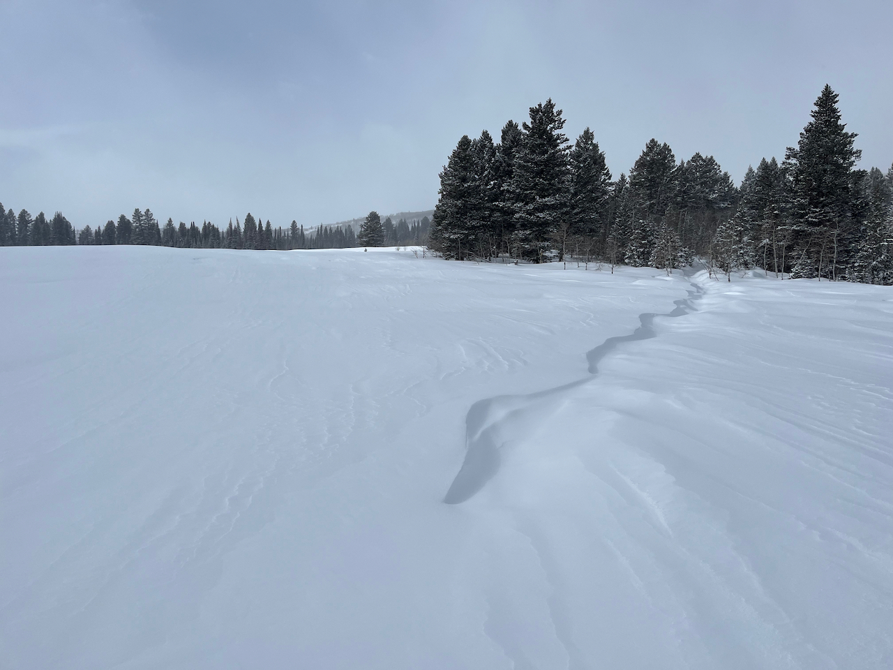
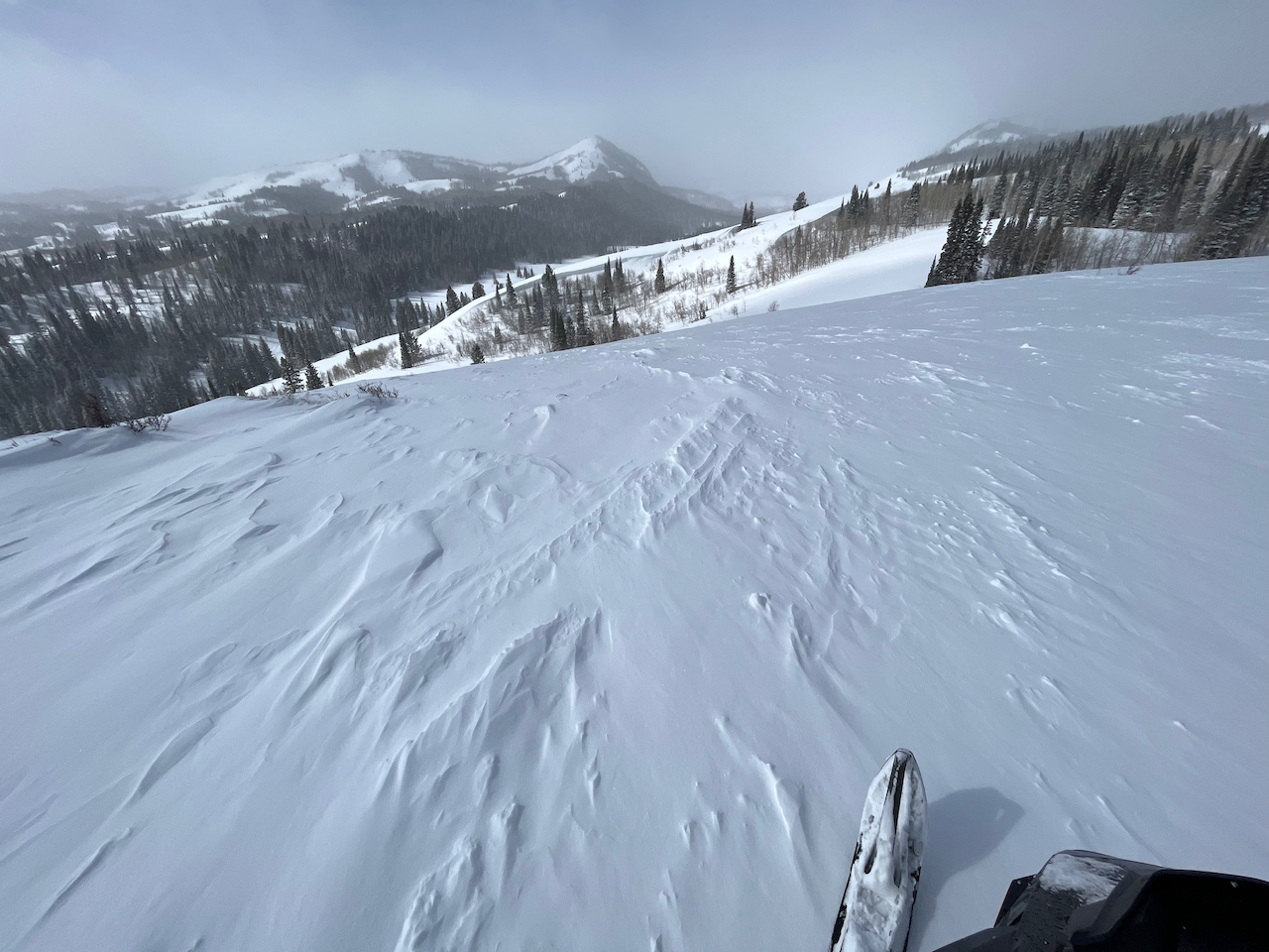
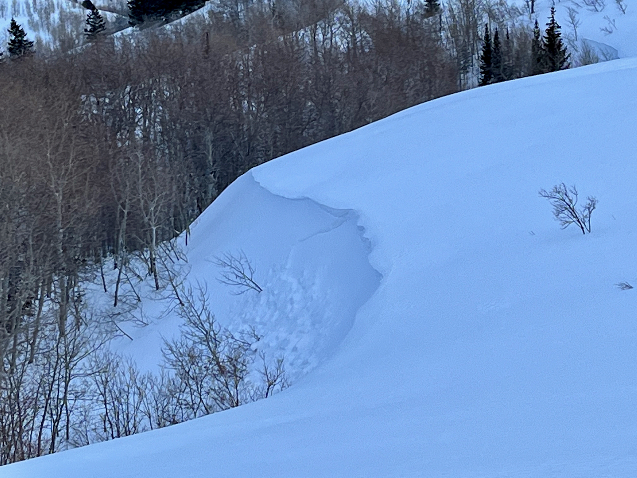
Overnight winds from the east drifted light powder, creating stiffer wind slabs in unusual or unexpected places, and elevating the avalanche danger. There is MODERATE danger in drifted terrain at upper and mid elevations, where people could trigger small slab avalanches on slopes steeper than 30°. Loose avalanches of sun-moistened fresh snow are possible in the middle of the day on sunny slopes. The snow is stable and avalanches are unlikely in terrain not affected by the wind and at lower elevations.
  • Evaluate snow and terrain carefully.
Low
Moderate
Considerable
High
Extreme
Learn how to read the forecast here
Weather and Snow
We found fine Utah "cold smoke" powder conditions in the backcountry yesterday. But east and north winds overnight may have done some damage to exposed slopes holding deep powder. Yesterday's snow was light and easily picked up and drifted by the wind, and the unusual easterly direction may have formed wind slabs in unexpected areas or on slopes that don't normally get wind deposits.
The Tony Grove Snotel reports 10" of new snow from Monday night and yesterday. I'm reading 8° F and 101 inches of total snow. The winds on Logan Peak are from the north at around 18 mph, having blown from the east-northeast overnight 25 to 35 mph for a few hours.

Today: Mostly sunny, with a high near 16. Wind chill values as low as -16. Northeast wind around 10 mph.
Tonight: Mostly clear, with a low around -1. Wind chill values as low as -16. North northwest wind 8 to 10 mph.
Thursday: Sunny, with a high near 19. Wind chill values as low as -11. West wind around 8 mph
Expect some sun, and continued cold weather through the work week and into the weekend. A productive storm looks to be developing for President's day and early next week.
Recent Avalanches
We observed a few small natural soft wind slab avalanches in drifted terrain yesterday.
Saturday, skiers near Logan Peak in Mill Hollow remotely triggered a 8" deep and 60' wide wind slab avalanche that ran around 500 vrt'. Report is HERE

For a list of avalanches in the Logan Zone go HERE
Find a list of all recent observations & avalanches from across Utah HERE.
Ad
Avalanche Problem #1
Wind Drifted Snow
Type
Location
Likelihood
Size
Description
Drifting occurred as winds blew from the east and north last night and early this morning, elevating the avalanche danger in exposed terrain. Shallow wind slabs may have formed in unusual or unexpected places and on normally windward slopes. Some recently formed wind slabs probably formed on sugary faceted snow and may be pretty sensitive. Although somewhat unlikely, avalanches might be triggered remotely or from a distance.
  • Avoid corniced slopes and stiffer drifts on steep slopes near ridges and in and around terrain features like cliff bands, sub-ridges, mid-slope break-overs, and gully walls.
  • Even small avalanches of wind drifted snow can be a problem in steep terrain, especially if you get carried into trees, gullies, benches, or rocks.
Avalanche Problem #2
New Snow
Type
Location
Likelihood
Size
Description
As the fresh snow is warmed by the sun it could become moist and prone to sluffing. Loose wet (moist) avalanches are possible in the middle of the day on sheltered sunny slopes.
Additional Information
Evidence of drifting was apparent at all elevations in the Central Bear River Range yesterday, and small avalanches of wind drifted snow are possible again today.
General Announcements
  • Please submit your observations from the backcountry HERE.
  • For a list of avalanche classes from the Utah Avalanche Center go HERE
  • For information on where you can ride your sled or snowbike, check out this map of the winter travel plan for the Logan and Ogden Ranger Districts HERE, and a close up of the Tony Grove and Franklin Basin Areas HERE.
This forecast is from the U.S.D.A. Forest Service, which is solely responsible for its content. This forecast describes general avalanche conditions and local variations always occur.