In a new video, Paige explains how different types of weak snow that develop during periods of benign weather can become persistent weak layers when buried by future snows. We expect dangerous avalanche conditions to develop as persistent weak layers are overloaded by heavy snow next week.
----------------------------------------------------------------------------------
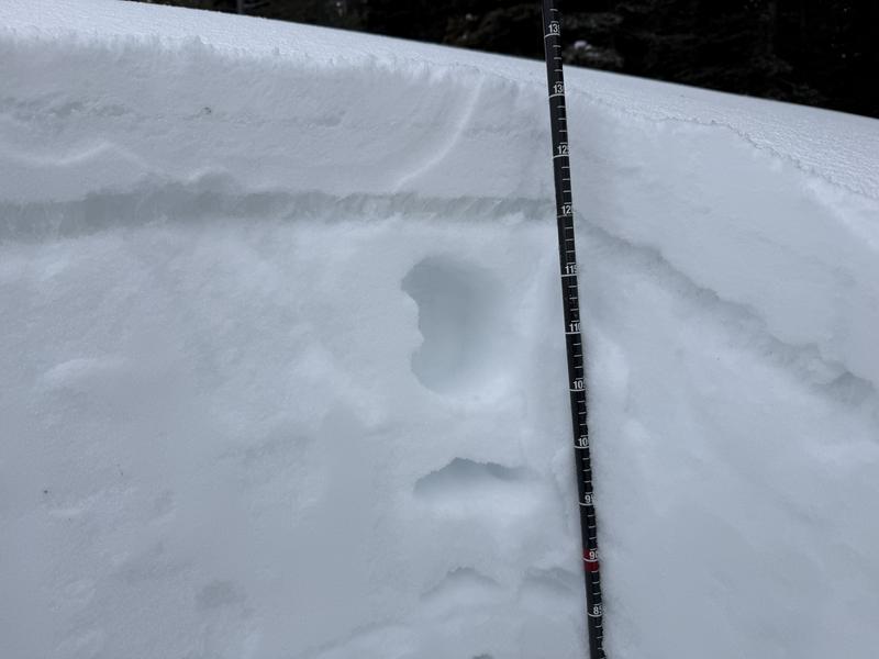
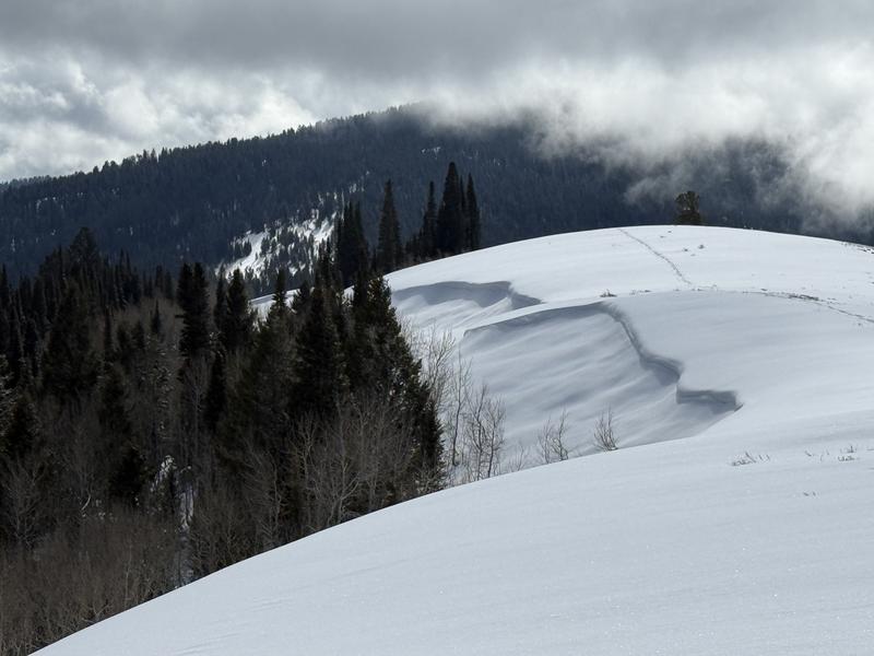
Elevated avalanche conditions are found in drifted terrain and on slopes facing northwest through southeast that are steeper than 30 degrees. Terrain below about 7000 feet has only very shallow snow cover, with muddy trails and sunny slopes facing southeast through west completely bare of snow. So far this week, only a few inches of new snow accumulated up high, but this certainly improved the riding and refreshed the winter mountain views. After a dry few weeks, the snow beneath the fresh snow is quite variable, with plenty of old tracks, wind, and sun crusts of differing thickness, sastrugi, and hard wind drifts in exposed terrain, areas with shallowly buried, cornflake-like surface hoar, and soft, droppy, and fairly deep, sugary faceted snow in sheltered northerly terrain.
The wind diminished significantly yesterday, and a light breeze is blowing 9 to 17 mph from the west this morning on the summit of Logan Peak (9700 feet). It's 19°F on Paris Peak at 9500 feet, and the wind sensor is rimed, incased in frost. At 8700 feet, the UAC Card Canyon weather station reports around five inches of new snow from the recent storm. It's 24°F, and there's 44 inches of total snow. The Tony Grove Snotel, located at 8400 feet, also reports 5 new inches, it's 26°F, and there's 55 inches of total snow.
Expect mostly sunny skies in the mountains today, with high temperatures at 8500' around 31°F and light winds from the west. Tomorrow, skies will be mostly sunny again, with a high temperature of around 34°F and a moderate breeze from the southwest. Clouds will build on Sunday, with increasing wind from the southwest before the next round of storminess moves over the area on Monday. Heavy snowfall is expected, beginning on Monday night and continuing through much of the week, as an atmospheric river will provide ample moisture...
An observer texted us a report of several small soft slab avalanches triggered by skiers in Bloomington Canyon on Thursday between 7500 feet and 8500 feet in elevation. At higher elevations, the party found more stable snow. Otherwise, no other avalanche activity was reported recently.
For all observations and avalanche activity in the Logan zone, go HERE