Donate Now to Our Year End Campaign!

Forecast for the Logan Area Mountains

Toby Weed
Issued by Toby Weed on
Friday morning, December 26, 2025

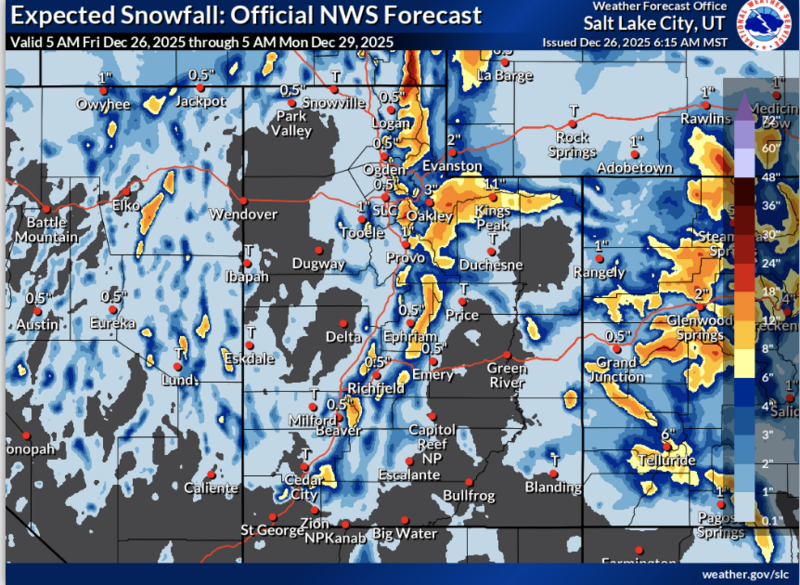
MODERATE: Heavy snowfall and drifting will elevate backcountry avalanche danger on upper and mid-elevation slopes steeper than 30 degrees today. Evaluate snow and terrain carefully because the avalanche danger will rise throughout the day, and dangerous avalanche conditions (a CONSIDERABLE danger) could develop on drifted upper elevation slopes tonight.

  • Slopes below about 7000 feet in elevation across the zone were bare of snow or had only minimal snow cover before today's storm.
Low
Moderate
Considerable
High
Extreme
Learn how to read the forecast here
Weather and Snow

We expect heightened avalanche conditions to develop, particularly in drifted terrain, where people may trigger soft slab avalanches of storm snow. In some areas up high, people might trigger dangerous hard slab avalanches failing up to 2 feet deep on a sugary, persistent weak layer buried near the ground. Heavy snowfall is expected in the Bear River Range today, and strong winds from the southwest will drift the new snow onto favored lee slopes. Temperatures dropped overnight, and webcams show decent snowfall at Beaver Mountain's base and at UDOT's Logan Summit shed this morning. It's 32°F at the Tony Grove Snotel, with 5 inches of new snow, and there's 33 inches of total snow at the site. The UAC Card Canyon weather station is showing 30°F and 2 new inches, now with 18 inches of total snow. On Logan Peak, it's 25°F, winds are blowing from the south-southwest 25 mph, with a gust of 48 mph early this morning. On Paris Peak, it's 24°F, and the wind is from the south-southwest at 15 to 25 mph.

The National Weather Service has issued a Winter Storm Warning for the Northern Bear River Range and a Winter Weather Advisory for all the mountains of Utah, this morning and extending through Saturday night. Expect heavy snow in the mountains today, and some thunder is also possible, with 7 to 11 inches of accumulation possible by this evening in some upper elevation terrain. Temperatures at 8500 feet will drop to around 28°F, and winds will blow from the southwest 25 to 30 mph, with gusts around 50 mph. Heavy snowfall will continue tonight, with temperatures sinking to around 20°F. 5 to 9 inches of additional accumulation is expected, and it will continue to be breezy, with a wind from the west-southwest around 20 to 35 mph. Snowfall and fairly strong winds from the west-southwest will resume tomorrow, with another 3 to 7 inches of accumulation expected. While this is very welcome news, the Boxing Day storm will certainly elevate avalanche danger in the backcountry and probably create dangerous conditions at upper elevations.

Recent Avalanches

No new avalanches have been reported locally since early December. For all observations and avalanche activity in the Logan Zone, go HERE

Avalanche Problem #1
Persistent Weak Layer
Type
Location
Likelihood
Size
Description

Dangerous, hard slab avalanches up to 2 feet deep remain possible on steep slopes in isolated upper elevation terrain. Previously drifted slopes with poor snow structure (a slab of dense snow on top of weak faceted snow near the ground) are most suspect. At upper elevations, weak, faceted snow from November is buried beneath a thick crust or multiple crusts and dense snow. On steep, previously wind-drifted slopes, people could trigger avalanches that propagate widely.

  • Collapsing, indicated by shooting cracks and/or whumpfs, is a warning sign of unstable snow.
  • Avalanches might be triggered remotely (from a distance or below).

See Bear Wallow ECTP_6 video below

Avalanche Problem #2
New Snow
Type
Location
Likelihood
Size
Description

The danger of loose and soft slab avalanches of storm snow will rise throughout the day as new snow piles up and is drifted onto steep slopes. Soft wind slab avalanches will become more likely, especially in upper elevation terrain, where strong winds from the southwest will drift the falling snow... The danger will continue to rise overnight and tomorrow with continued periods of heavy snowfall and blowing snow, with natural avalanches of drifted storm snow possible.

  • Even small avalanches can have serious consequences in shallow snow conditions, where a slide could drag you through rocks or downed trees below.
Additional Information

Use safe travel practices: travel with a partner, and cross or ride steep slopes one at a time while the rest of your group watches from a safe spot.

Are you interested in learning more about avalanches? Visit our education page for details on all our classes.

For more information, visit the UAC weather page here: UAC Weather Page For Logan-specific weather, go here: Logan Mountain Weather

-For all questions on forecasts, education, Know Before You Go, events, online purchases, or fundraising, call 801-365-5522.

-Remember, the information you provide could save lives, especially if you see or trigger an avalanche. To report an avalanche or submit an observation from the backcountry, go HERE

-Receive forecast region-specific text message alerts to receive messages about changing avalanche conditions, watches, and warnings. Sign up and update your preferences HERE

This forecast is from the U.S.D.A. Forest Service, which is solely responsible for its content. This forecast describes general avalanche conditions and local variations always occur.

General Announcements
This information does not apply to developed ski areas or highways where avalanche control is normally done. This forecast is from the U.S.D.A. Forest Service, which is solely responsible for its content. This forecast describes general avalanche conditions and local variations always occur.