Join us for the 17th Annual Professional Snow and Avalanche Workshop (PROSAW) on November 4 - Purchase tickets here!

Forecast for the Logan Area Mountains

Toby Weed
Issued by Toby Weed on
Friday morning, December 15, 2023
The snow is generally stable, avalanches are unlikely, and the danger is LOW.

Normal caution is recommended. Continue to follow safe travel protocols and practice companion rescue with your backcountry partners.
Low
Moderate
Considerable
High
Extreme
Learn how to read the forecast here
Weather and Snow
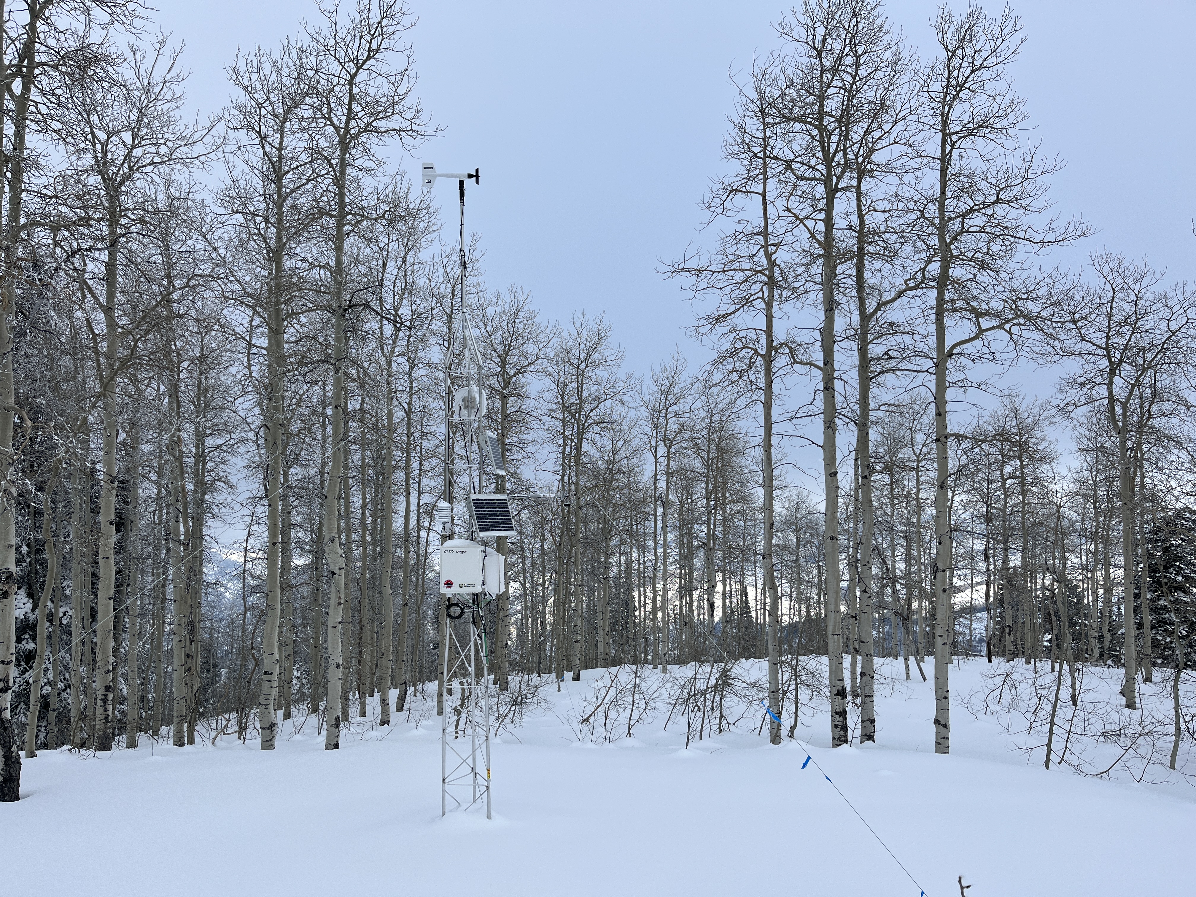
The Tony Grove Snotel at 8400' reports 50 inches of total snow. The new weather station on Paris Peak at 9500' in elevation reports 22° F and 20 mph winds blowing from the west-southwest.
We’re finding rather complex snow surface conditions with areas of deteriorating rime crust, others with shimmery surface hoar feathers, and small-grained sugary faceted snow everywhere that is developing and widespread. Exposed terrain is wind-affected by strong winds from the east earlier in the week, but coverage and snow conditions are actually pretty good.
Expect sunny skies in the mountains today, with 8500' high temperatures around 35° F and light winds blowing from the west. High-pressure conditions, with sun and pretty warm temperatures in the mountains and haze in the valleys, will continue through the weekend. Clouds and the chance for snow will increase gradually next week with a series of weak systems beginning to affect our area around Tuesday.
Recent Avalanches
No avalanches were reported in the Logan Zone since the widespread natural cycle occurred on December 3 and 4.
  • Many observations from the Logan Zone have been submitted recently and are available HERE
  • Visit our avalanche page to check out this season's activity from across Utah.
Ad
Avalanche Problem #1
Persistent Weak Layer
Type
Location
Likelihood
Size
Description
Unlikely, dangerous avalanches failing on a persistent weak layer from November remain possible on slopes steeper than 30 degrees in high shady terrain with thin snow cover and poor snowpack structure.
Up high and on slopes facing west, north, and east, avalanches failing on a persistent weak layer are possible in isolated outlying terrain where previously wind-drifted snow overlies weak, sugary snow from November.

On Tuesday, we found stable snow in most of the terrain we traveled in. However, we also found areas with poor snowpack structure and weak, sugary, faceted snow lurking near the ground.
Avalanche Problem #2
Normal Caution
Type
Location
Likelihood
Size
Description
Even when the danger is LOW, it’s always good practice to follow safe backcountry travel protocols when traveling on or under slopes steeper than about 30°
  1. Be sure everyone in your party has working companion rescue equipment, including a transceiver, a probe, and a shovel. Practice with this equipment regularly, and include and instruct new companions.
  2. Cross avalanche paths and runouts one person at a time, with the rest of the party watching from a safe place.
  3. Reevaluate and be willing to change your plans if you encounter apparent signs of instability, even if the forecast says the danger is LOW.
Additional Information
This fall, we installed two new weather stations in the Logan Zone. The Paris Peak Weather Station (available HERE) and the Card Canyon Weather Station (available HERE)
We visited the site on Tuesday, and the Card Canyon weather station looks good and appears to be working well!
General Announcements
  • Taking time to check your companion rescue gear and practice with your transceiver is essential. watch a short video here
  • IMPORTANT: Read Mark's blog about electromagnetic interference of avalanche transceivers HERE
  • Our 20th annual Pray For Snow fundraiser party was a huge success. Thanks for coming and showing your support!
  • We will update this forecast tomorrow morning.
This forecast is from the U.S.D.A. Forest Service, which is solely responsible for its content. This forecast describes general avalanche conditions, and local variations always occur.