Forecast for the Logan Area Mountains

Paige Pagnucco
Issued by Paige Pagnucco for
Saturday, January 6, 2024
The avalanche danger is MODERATE today as human-triggered avalanches are possible. Heightened conditions exist on upper-elevation slopes where wind-drifted snow is overloading widespread weak surface snow. Evaluate snow and terrain carefully.
The avalanche danger remains LOW at mid and low elevations.
Low
Moderate
Considerable
High
Extreme
Learn how to read the forecast here
Special Announcements
Sign up for forecast region-specific text message alerts. You will receive messages about changing avalanche conditions, watches, and warnings...HERE
Weather and Snow
The Tony Grove Snotel at 8400' reports 5 inches of new snow since Thursday. There is 44” of total snow, and it’s 14° F. Winds are blowing from the west-southwest at 14 MPH with gusts in the 20's MPH at the 9500' Paris Peak weather station, where it’s a very chilly 6° F.

Snowfall will be light across the Logan Zone today ahead of another period of heavy snowfall expected overnight tonight. The 8500' high temperature will be 17° F. Winds will blow from the southwest at 15 to 20 mph along the high ridges, and wind chill values will be as low as 3°F. Total daytime snow accumulation is expected to be an inch or two.
More snow is expected tonight as another strong system drops 4-8 inches of snow. An active and increasingly cold weather pattern will bring a series of storm systems to the region through next week.

As conditions increase in quality, so too will the avalanche danger increase with very weak surface (now just slightly buried) snow widespread across the mountains of Northern Utah. The new snow is not bonding well to the weak, old snow surface. Avalanches will become increasingly possible as the fresh powder accumulates on slopes steeper than 30° and drifts into avalanche starting zones.

Shallow, early-season conditions still exist; hitting rocks or downed trees is a significant consideration.
Recent Avalanches
No avalanches were reported recently in the Logan Zone.
Check out local observations and avalanches HERE.
Ad
Avalanche Problem #1
Wind Drifted Snow
Type
Location
Likelihood
Size
Description
The wind actually has something to move around with fresh snow on the ground. Avoid areas of freshly wind-drifted snow like ridges, subridges, and avalanche starting zones as you could trigger small, soft slab avalanches.
Though alluring, these smooth-looking, rounded pillows of snow are sitting on top of very weak pre-existing surface snow. Yesterday, we found the best riding conditions in sheltered, lower-angle terrain out of the wind.
Avalanche Problem #2
Persistent Weak Layer
Type
Location
Likelihood
Size
Description
We expect the avalanche danger to increase significantly in the backcountry as we accumulate more snow. Weak, sugary, or faceted surface snow is widespread across the zone, and it will likely become a nasty, persistent weak layer as it is buried by a series of upcoming storms.
Human-triggered dry, loose avalanches and shallow storm slabs are possible on slopes steeper than 30° as the new snow sits atop a widespread pre-existing weak surface snow.
Additional Information

Always follow safe travel protocols on or under slopes steeper than 30°.
  • Be sure everyone in your party has working avalanche rescue equipment, including a transceiver, probe, and shovel. Practice with this equipment regularly, and include and instruct new partners.
  • Cross avalanche paths and runout zones one person at a time, with the rest of the party watching from a safe place.
  • Reevaluate and be willing to change your plans if you encounter any signs of instability, like recent avalanches, audible collapses (whumpfs), or cracking in drifted snow.

Two new weather stations are found in the Logan Zone this season. The Paris Peak Weather Station (available HERE) and the Card Canyon Weather Station (available HERE)
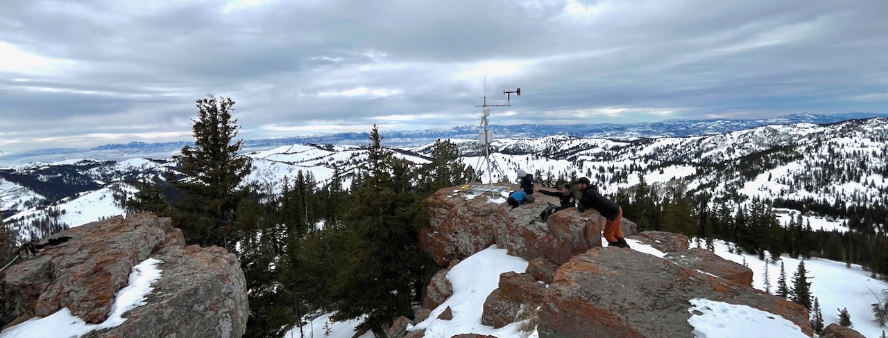
We checked on our new Paris Peak weather station on last Saturday. It's looking good and working well, giving us real-time weather, including relevant ridgetop wind information. For more information on what we found in the Bloomington Canyon Area last weekend, check out our observation HERE.
General Announcements
  • For all questions on forecasts, education, KBYG, events, online purchases, or fundraising: call 801-365-5522.
  • To report an avalanche or submit an observation from the backcountry: go HERE
  • Read Mark's blog about electromagnetic interference of avalanche transceivers HERE.
    We will update this forecast by 7:30 AM tomorrow.

    This forecast is from the U.S.D.A. Forest Service, which is solely responsible for its content. This forecast describes general avalanche conditions, and local variations always occur.