Get Your Ticket to the 32nd Annual Backcountry Benefit on September 11th! Support Forecasting, Awareness, and Education
Ad

Forecast: Logan Area Mountains

Forecast for the Logan Area Mountains

Toby Weed
Issued by Toby Weed on
Wednesday morning, January 29, 2020
Heightened avalanche conditions and MODERATE danger exist in the backcountry. People could trigger avalanches of wind drifted snow on exposed upper and mid elevation slopes. You can find very nice smooth and fast shallow powder conditions, LOW danger, and mostly stable snow in sheltered terrain and on lower angled slopes.
  • Evaluate snow and terrain carefully.
Low
Moderate
Considerable
High
Extreme
Learn how to read the forecast here
Weather and Snow
It's 22°F at the 8400' Tony Grove Snotel this morning, and there is about 5 inches of new snow from yesterday's storm, with 0.7" of Snow Water Equivalent. There is 81 inches of total snow, containing 126% of normal SWE. Winds are currently blowing from the north-northwest around 20 mph, and it's 15°F at the 9700' CSI Logan Peak weather station.

Several inches of fresh snow fell at upper elevations, and shallow powder conditions are really nice, especially in sheltered terrain. Drifting from west and northwest winds has created heightened avalanche conditions in exposed upper and mid elevation terrain and drifts and cornices were sensitive to human triggers yesterday. Low elevation temperatures should stay cool today, and the saturated snow will continue to set up.

Snow showers are possible this morning, and cloudy skies will clear by this afternoon allowing the sun to poke out. 8500' high temperatures are expected to be around 25°F, with 8 to 13 mph west-northwest winds. Increasing clouds tonight, with low temperatures around 16°F, with 9 to 11 mph west-northwest winds. Snow is likely in the mountains Thursday, with 1 to 3 inches possible. It will be cloudy, with a high temperature near 24°F, and 15 mph north-northwest wind. High pressure aloft will expand across the Great Basin Friday and remain through the weekend.
Recent Avalanches
We found easily triggered and manageable soft wind slabs and cornice falls yesterday on drifted upper and mid elevation slopes. Today's drifts will be stiffer, deeper, and perhaps a bit less manageable.
Ad
Avalanche Problem #1
Wind Drifted Snow
Type
Location
Likelihood
Size
Description
Several inches new snow fell overnight on upper elevation slopes, and northwesterly winds were plenty strong enough to move it around. Yesterday's drifts were quite sensitive to human triggering, but they will likely be stiffer and more stubborn today. Harder wind slabs sometimes allow people to get out on them before releasing.
  • Watch for and avoid stiffer drifted snow near ridge lines and in and around terrain features like cliff bands, scoops, gully walls, and sub-ridges.
  • Avoid ridge top cornices, which can break much further back than expected and start avalanches on slopes below.
Avalanche Problem #2
Persistent Weak Layer
Type
Location
Likelihood
Size
Description
Although increasingly unlikely, dangerous human triggered avalanches failing on a deeply buried persistent weak layer remain possible on isolated upper elevation slopes. Some avalanches might step down into buried persistent weak layers, involve large volumes of snow, and be quite dangerous and destructive. Yesterday, we found very poor snow structure on slopes with shallow snow on the west side of the south ridge of Beaver Mountain. Our stability tests showed potential for avalanches failing on sugary faceted snow buried by the New Years storm.
It's easy to find very weak, sugary or faceted snow where the snow is shallow. This example is from the south Ridge of Beaver Mt. (1-28-2020)
Additional Information
We noticed a few large fresh roof avalanches off metal barn roofs in the Bear Lake Area on Friday. Many are still holding lots of heavy snow, and gradual melting is causing them to drip and creep. Keep and eye on the kids, animals, and vehicles because more significant roof avalanche activity is likely, especially when both day and night temperatures are above freezing.
General Announcements
Are you looking to improve your avalanche skills? We are offering a Backcountry 101: Introduction to Avalanches class at Powder Mountain February 14-15. Info and sign up HERE
The anual CROWBAR backcountry ski race will be on Saturday, February 8. The unique and classic backcountry race will be held at the Swan Flat/Garden City Trailhead in upper Logan Canyon. There are four divisions (Junior, Recreation, Heavy Metal & Race) with different climbs, descents, and technical booters. Participants must carry avalanche rescue gear (beacon, shovel, probe) and can use alpine touring gear, telemark skis, or splitboards. Register on UltraSignup, or sign up to volunteer at this year's race!
Thanks to the generous support of our Utah ski resorts and Ski Utah, we have discount lift tickets available. All proceeds from these go towards paying for avalanche forecasting and education! Get your tickets HERE.
EMAIL ADVISORY. If you would like to get the daily advisory by email you subscribe HERE.
Remember your information can save lives. If you see anything we should know about, please help us out by submitting snow and avalanche observations....HERE. You can also call us at 801-524-5304, email by clicking HERE, or include #utavy in your tweet or Instagram.
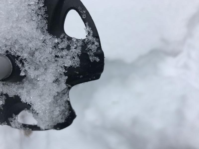
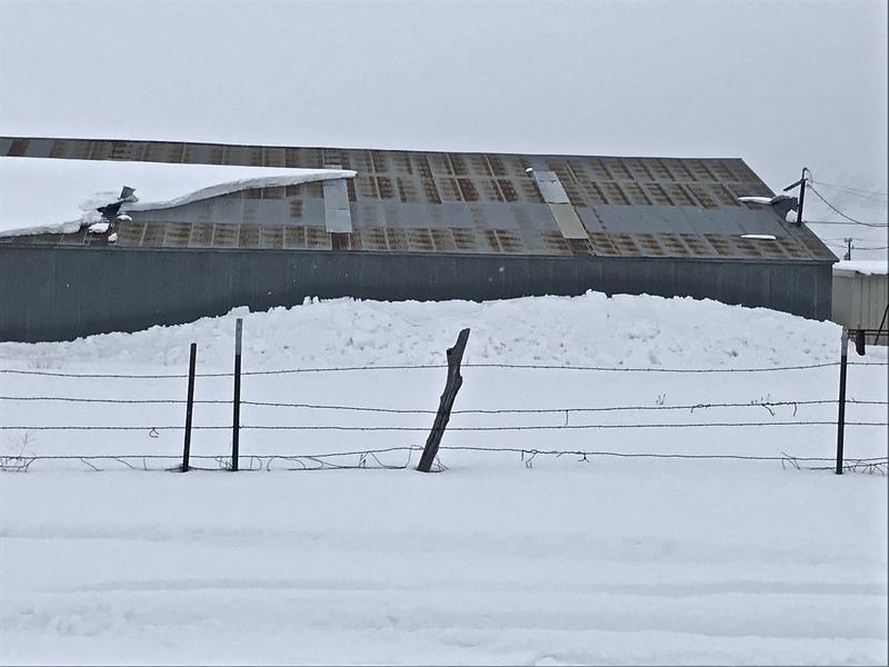
This forecast is from the USDA Forest Service, which is solely responsible for its content. The forecast describes general avalanche conditions and local variations always occur.
I will update this forecast before about 7:30 Friday morning.