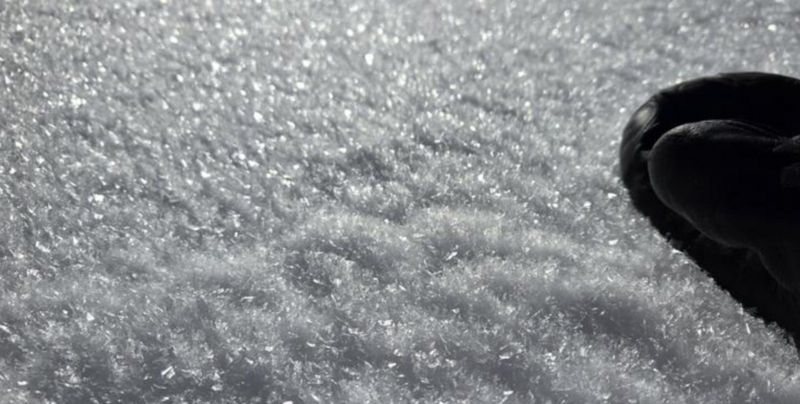
We found stable snow and excellent powder riding conditions in the last days of 2025 in the Logan Zone, especially in the Northern Bear River Range, where access opened up with the snow that fell the day after Christmas. With much upper-elevation avalanche terrain still difficult to access, many popular slopes remain unvisited, and a buried persistent weak layer problem likely still exists in isolated upper-elevation terrain. Another potential problem has developed: a layer consisting of glittery surface hoar and small sugary grains of faceted snow now exists on the snow surface. It will be buried and, in some areas, it could be preserved by new snow today.
It’s too warm, and it will likely rain at lower elevations again as a winter storm rings in the New Year today. It's 37°F at Tony Grove with 39 inches of total snow. At the UAC Card Canyon weather station, it's 34°F with 25 inches of total snow. Winds on Logan Peak are blowing from the south at around 25 mph, with gusts reaching 35 mph. At the UAC site on Paris Peak, it’s 30°F with winds from the south-southwest at 10 to 15 mph. Temperatures are expected to drop faster than they did during the Christmas Storm, and hopefully, the rain-snow line will descend in elevation quickly, and the rain will turn to snow.
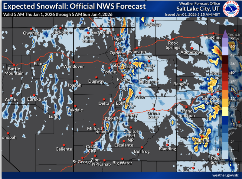
The National Weather Service has issued a Winter Weather Advisory starting this afternoon through 11:00 AM tomorrow. Expect snow in the mountains today, with 2 to 4 inches of accumulation possible by evening. High temperatures at 8500 feet will be around 31°F, with moderate winds blowing from the southwest. Tonight, snowfall could be heavy at times, with 8 to 12 inches of accumulation possible. Low temperatures are expected to be around 28°F, with moderate winds from the west-southwest. Periods of heavy snowfall are expected to continue before tapering off tomorrow, with 3 to 7 inches of additional accumulation possible. High temperatures will be near 31°F, and winds will blow from the west.
We received a report of an avalanche in the Wasatch Backcountry near Brighton that looks to have failed on the PWL at the base of their shallow snowpack.
No new avalanches have been reported in the Logan Zone since early December. The last week of 2025 was generally quiet in the backcountry, with few signs of instability observed or reported. For all observations and avalanche activity in the Logan Zone, go HERE.