Forecast for the Abajos Area Mountains

Eric Trenbeath
Issued by Eric Trenbeath for
Thursday, March 28, 2024
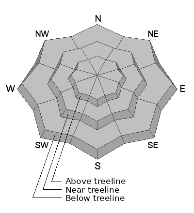
Triggering an avalanche in the Abajos is becoming inreasingly unlikely. You may still be able to trigger a slab of wind drifted snow on upper elevation slopes that face primarily NW-NE-SE. Avoid steep slopes that have smooth, rounded deposits of wind drfted snow.
Low
Moderate
Considerable
High
Extreme
Learn how to read the forecast here
Weather and Snow
Weather
Winds from the SW began ramping up a little after midnight and I'm afraid they are here to stay. Following brief ridging today, we're headed into a prolonged period of unsettled weather lasting at least into early next week. Action for the next few days will be focused on points north, but we'll get plenty of wind and increasing clouds today with high temperatures rising into the mid 30's at 10,000'. We'll see more clouds and ever increasing SW winds through Saturday. By Sunday, a deep low pressure system moves into the desert Southwest bringing us our next chance for snow. Stay tuned.
General Conditions:
March conditions are in full effect and you can find a little bit of everything out there right now including varying degrees of breakable sun crust that turn sloppy late in the day, and soft, settled powder on sheltered, northerly aspects. The sun is high in the sky however, and low angle northerly aspects are now open to sun exposure.
NWS forecast for the Abajo Mountains.
Snow totals and temps at Buckboard Flat (8924')
Snow totals and temps at Camp Jackson (8858')
General Announcements
This forecast is from the U.S.D.A. Forest Service, which is solely responsible for its content. This forecast describes general avalanche conditions and local variations always occur.