UDOT PLANNED AVALANCHE CLOSURES!!

Forecast for the Abajos Area Mountains

Eric Trenbeath
Issued by Eric Trenbeath for
Saturday, March 11, 2023
DENSE, WET, HEAVY SNOW AND STRONG WINDS HAVE CREATED DANGEROUS AVALANCHE CONDITIONS!
Low
Moderate
Considerable
High
Extreme
Learn how to read the forecast here
Weather and Snow
A winter storm warning remains in effect for the La Sal and Abajo Mountains as a cold front moves over central and southern Utah. 3"-7" of new snow are possible today.
NWS forecast for the Abajo Mountains.
Snow totals and temps at Buckboard Flat (8924')
Snow totals and temps at Camp Jackson (8858')

Snowpack Summary and General Conditions
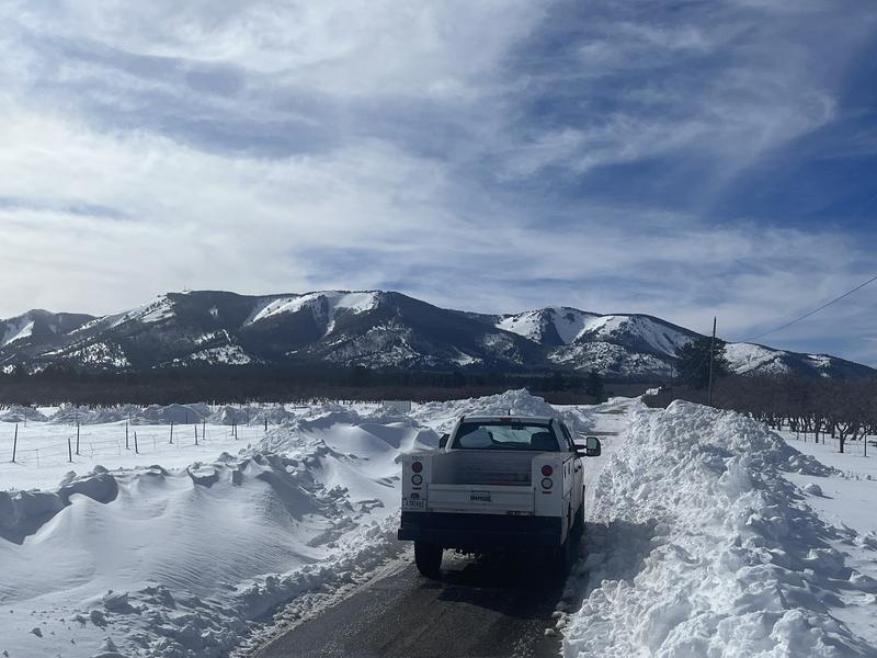
I'm not sure how much snow the Abajos have received as the rain snow line appears to be hovering around 9000' or just above the SNOTEL sites. Camp Jackson is reporting an inch of water and 2" of snow, and Buckboard Flat is reporting .7" of water. Rain on snow is never a good thing, and whatever snow has fallen is extremely dense, wet, and heavy. 1.0" of water should translate to at least 6" or more of new snow up high. In additon, strong SW winds blew and drifted snow all day yesterday. With more snow and wind in the forecast, conditions will remain dangerous in the Abajo mountains today and backcountry travelers should avoid slopes steeper than 30 degrees.
Additional Information
If you are getting out in the backcountry, we'd love to hear what you're seeing. Please submit observations here. For the most recent snowpack observations click here. You can also send an email to [email protected] or give me a call with anything noteworthy, especially avalanches! 801-647-8896
Got snow?
General Announcements
This forecast is from the U.S.D.A. Forest Service, which is solely responsible for its content. This forecast describes general avalanche conditions and local variations always occur.