Forecast for the Abajos Area Mountains

Issued by Dave Garcia on
Wednesday morning, December 3, 2025
Wednesday morning, December 3, 2025
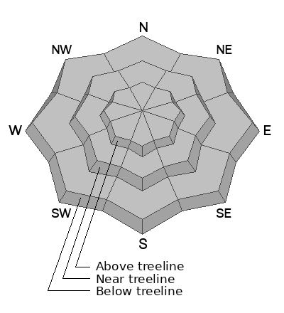
Recent snowfall has slightly increased the risk for small, human-triggered avalanches. The most likely areas to find trouble will be on steep, northerly facing slopes near and above treeline, where fresh deposits of new and wind-drifted snow accumulate on top of pre-existing, weak surface snow. Overall coverage is quite thin, and the avalanche danger will be largely isolated to areas with the deepest and most continuous snow cover. Suspect steep slopes that have more than about 8 inches of new snow and pay attention to loading patterns and areas that have been wind drifted. Cracking is a sign of instability. Even a small avalanche can have consequences in low snow conditions.
Low
Moderate
Considerable
High
Extreme
Learn how to read the forecast here


